Transport Functions
Port
Rail
Road
Airport
Postal
Hub Profile
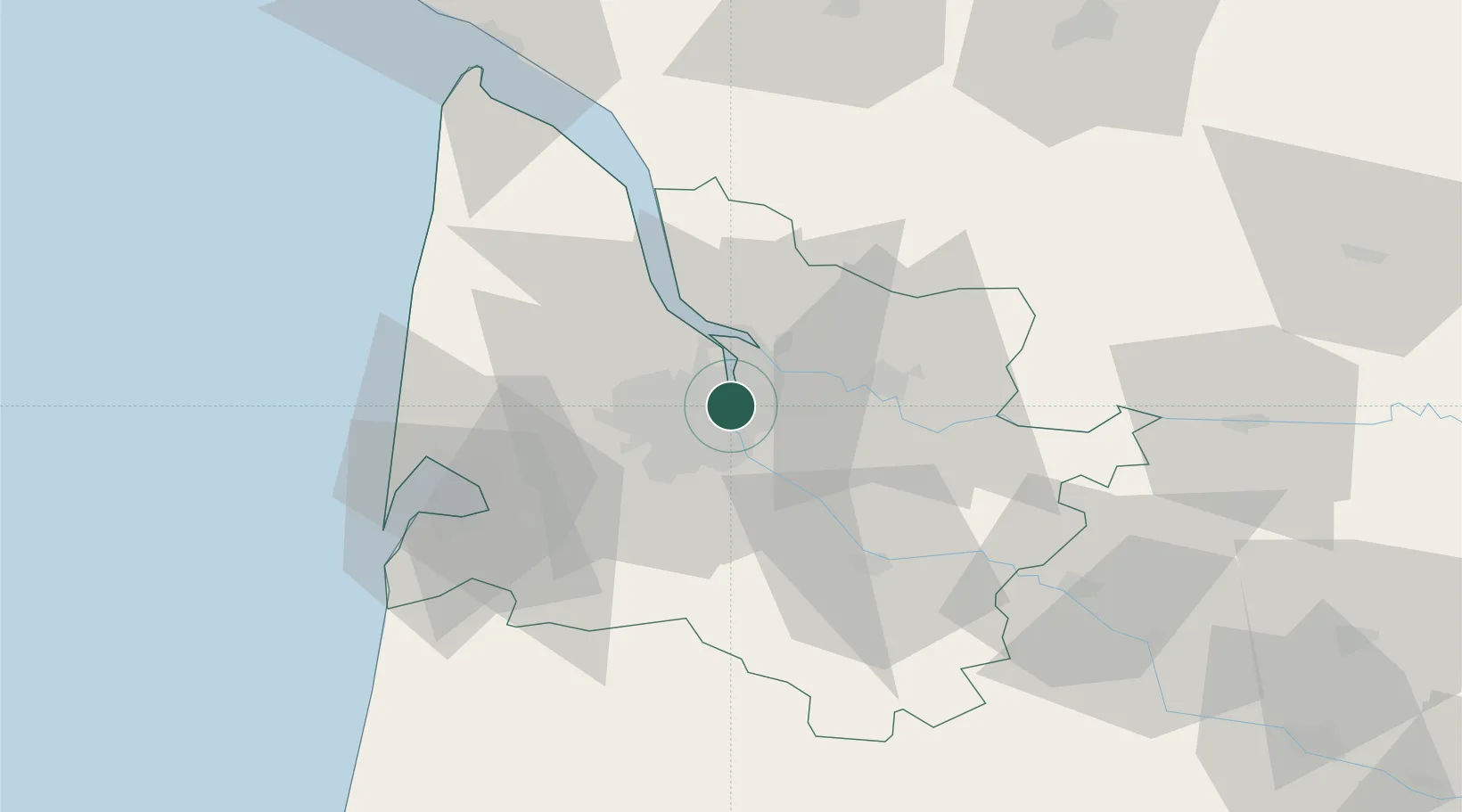
Place type
Regional capital
Region
Nouvelle-Aquitaine
Population
265,328
Time zone
Europe/Paris
Elevation
20 m
Logistics facilities
14
Location
Nearby Logistics Neighbours
Cities
- 1la Bastide/Bordeaux3 km
- 2Cenon4 km
- 3Bassens4 km
- 4Ambarès-et-Lagrave4 km
- 5Bruges4 km
Ports
- 1Ambes15 km
- 2Blaye30 km
- 3Pauillac39 km
- 4Le Verdon84 km
- 5Tonnay Charente120 km
Airports
Trade Zones
- 1Port de Bordeaux4 km
- 2ZFU Hauts de Garonne6 km
- 3ZFU La Rochelle152 km
- 4Depósito Franco de Pasajes (Guipúzcoa)205 km
- 5ZFU Toulouse213 km
DatabookThe Record of Consolidated Knowledge
France beyond logistics?