Transport Functions
Rail
Road
Hub Profile
Place type
Populated place
Region
Rhône-Alpes
Population
901
Time zone
Europe/Paris
Elevation
363 m
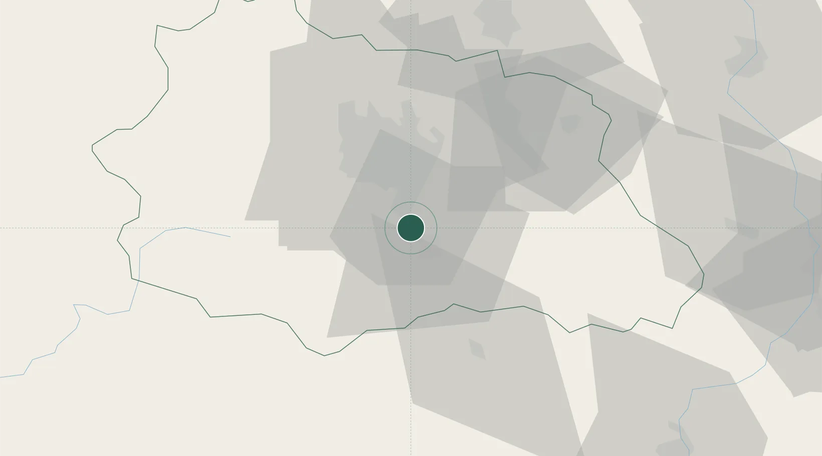
Location
Nearby Logistics Neighbours
Cities
- 1Issoire8 km
- 2Saint-Sandoux8 km
- 3Veyre-Monton8 km
- 4Montaigut-le-Blanc10 km
- 5Ronzieres12 km
Ports
- 1Sete249 km
- 2Fos278 km
- 3Port Saint Louis Du Rhone279 km
- 4Port-de-Bouc284 km
- 5Port-La-Nouvelle289 km
Airports
Trade Zones
- 1ZFU Clermont-Ferrand22 km
- 2ZFU Saint-Etienne87 km
- 3ZFU Lyon 9e125 km
- 4ZFU Vénissieux127 km
- 5ZFU Rillieux-la-Pape130 km
DatabookThe Record of Consolidated Knowledge
France beyond logistics?