Transport Functions
Rail
Road
Hub Profile
Place type
District seat
Region
Rhône-Alpes
Population
15,984
Time zone
Europe/Paris
Elevation
393 m
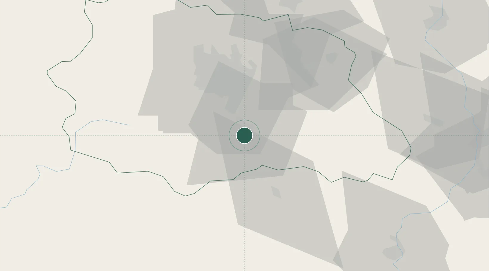
Location
Nearby Logistics Neighbours
Cities
- 1Coudes8 km
- 2Ronzieres9 km
- 3Chalus10 km
- 4Montaigut-le-Blanc12 km
- 5Saint-Sandoux14 km
Ports
- 1Sete242 km
- 2Fos270 km
- 3Port Saint Louis Du Rhone271 km
- 4Port-de-Bouc276 km
- 5Port-La-Nouvelle282 km
Airports
Trade Zones
- 1ZFU Clermont-Ferrand30 km
- 2ZFU Saint-Etienne83 km
- 3ZFU Lyon 9e124 km
- 4ZFU Vénissieux126 km
- 5ZFU Rillieux-la-Pape129 km
DatabookThe Record of Consolidated Knowledge
France beyond logistics?