Transport Functions
Multimodal
Hub Profile
Place type
Populated place
Region
Rhône-Alpes
Population
627
Time zone
Europe/Paris
Elevation
529 m
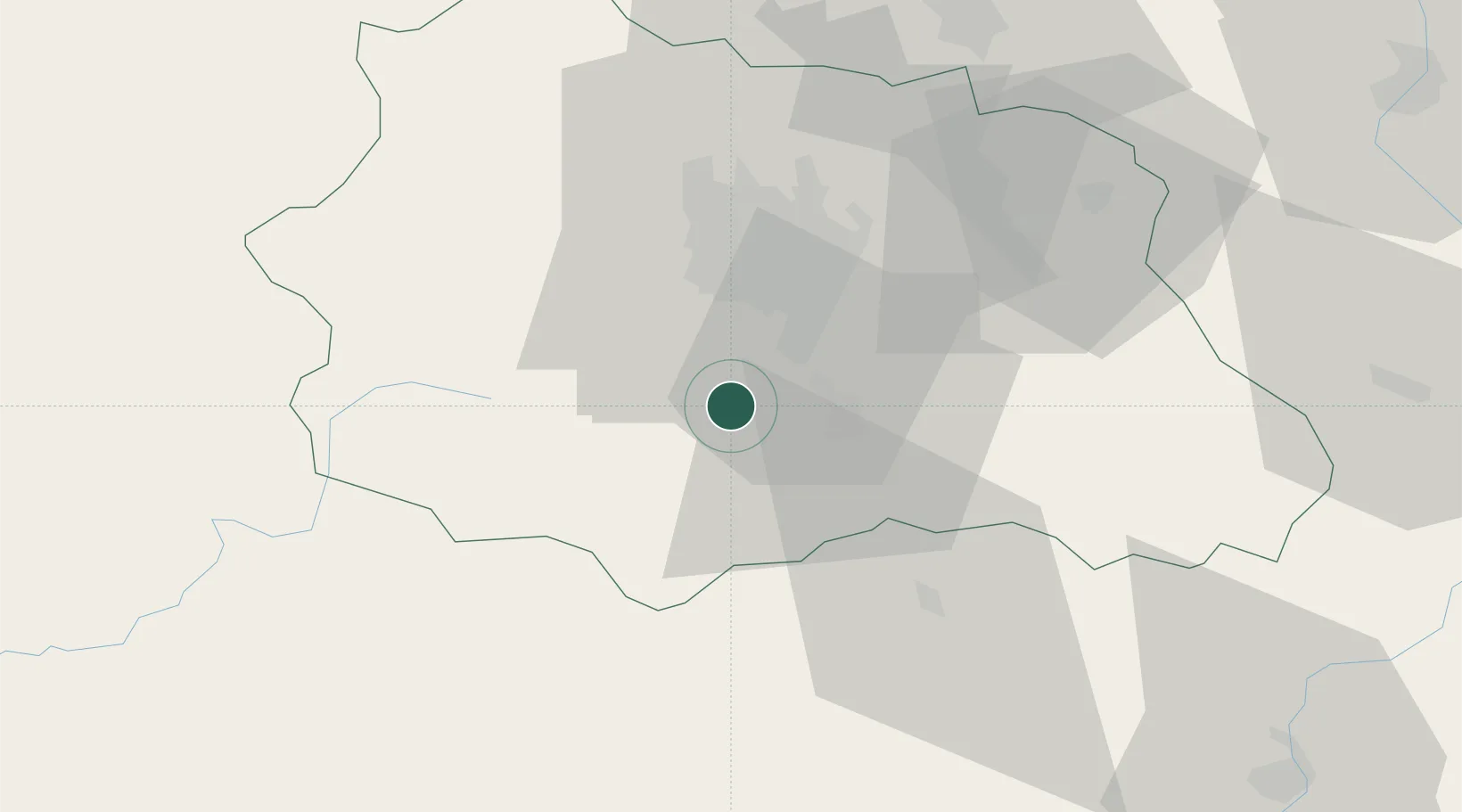
Location
Nearby Logistics Neighbours
Cities
- 1Saint-Sandoux6 km
- 2Ronzieres8 km
- 3Coudes10 km
- 4Murol12 km
- 5Issoire12 km
Ports
- 1Sete247 km
- 2Fos279 km
- 3Port Saint Louis Du Rhone280 km
- 4Port-de-Bouc285 km
- 5Port-La-Nouvelle285 km
Airports
Trade Zones
- 1ZFU Clermont-Ferrand23 km
- 2ZFU Saint-Etienne95 km
- 3ZFU Lyon 9e134 km
- 4ZFU Vénissieux137 km
- 5ZFU Rillieux-la-Pape139 km
DatabookThe Record of Consolidated Knowledge
France beyond logistics?