UN/LOCODE hub · France
FRCSS
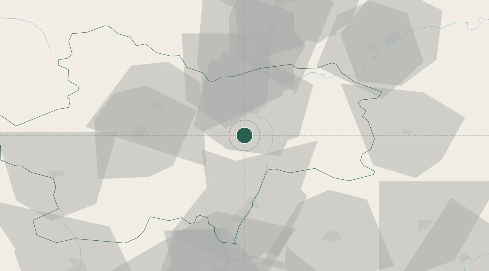
Chalon-sur-Saône
46.6597°, 4.8384°
47,251
Population
3
Transport functions
Transport Functions
Port
Rail
Airport
Hub Profile
Place type
District seat
Region
Bourgogne
Population
47,251
Time zone
Europe/Paris
Elevation
179 m
Logistics facilities
4
Location
Nearby Logistics Neighbours
Cities
- 1Gigny-sur-Saône6 km
- 2Étrigny9 km
- 3Épervans11 km
- 4Lacrost12 km
- 5Saint-Marcel13 km
Ports
- 1Fos361 km
- 2Port-de-Bouc363 km
- 3Port Saint Louis Du Rhone364 km
- 4Sete373 km
- 5Marseille374 km
Airports
- 1Mâcon-Charnay Airfield41 km
- 2Dole Tavaux Airport62 km
- 3Saint-Yan Airport69 km
- 4Dijon Longvic airport70 km
- 5Ambérieu Air Base (BA 278)84 km
Trade Zones
- 1ZFU Chenôve71 km
- 2ZFU Rillieux-la-Pape93 km
- 3ZFU Vaulx-en-Velin98 km
- 4ZFU Lyon 9e99 km
- 5ZFU Vénissieux107 km
DatabookThe Record of Consolidated Knowledge
France beyond logistics?