Transport Functions
Rail
Road
Hub Profile
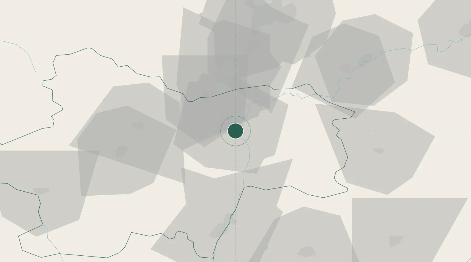
Place type
Populated place
Region
Bourgogne
Population
4,844
Time zone
Europe/Paris
Elevation
179 m
Location
Nearby Logistics Neighbours
Cities
- 1Épervans2 km
- 2Virey8 km
- 3Fargues-de-Langon11 km
- 4Farges-lès-Chalon11 km
- 5Dracy-le-Fort11 km
Ports
- 1Fos373 km
- 2Port-de-Bouc374 km
- 3Port Saint Louis Du Rhone376 km
- 4Marseille385 km
- 5Sete386 km
Airports
- 1Dole Tavaux Airport50 km
- 2Mâcon-Charnay Airfield53 km
- 3Dijon Longvic airport58 km
- 4Saint-Yan Airport78 km
- 5Ambérieu Air Base (BA 278)93 km
Trade Zones
- 1ZFU Chenôve59 km
- 2ZFU Besancon99 km
- 3ZFU Rillieux-la-Pape105 km
- 4Geneva Cointrin International Airport Free Port110 km
- 5ZFU Vaulx-en-Velin110 km
DatabookThe Record of Consolidated Knowledge
France beyond logistics?