UN/LOCODE hub · France
FR5EP

Épervans

46.7500°, 4.9000°
1,478
Population
2
Transport functions

Transport Functions

Port
Multimodal
UN/LOCODE

Hub Profile

Place type
Populated place
GeoNames
Region
Bourgogne
GeoNames
Population
1,478
GeoNames
Time zone
Europe/Paris
GeoNames
Elevation
182 m
GeoNames

Location

Location of FR5EP
Natural Earth 10m (public domain) · Bourgogne · FR5EP · 46.75, 4.90GoogleOSMYandex

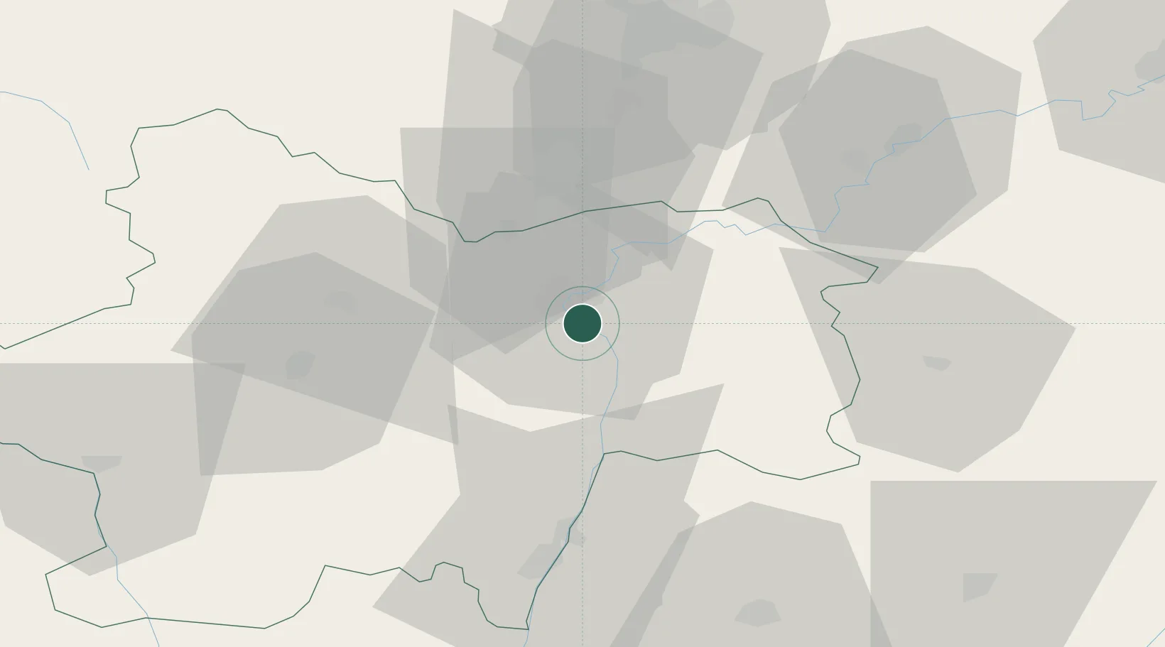
Nearby Logistics Neighbours

Cities
  1. 1Saint-Marcel2 km
  2. 2Gigny-sur-Saône9 km
  3. 3Virey10 km
  4. 4Chalon-sur-Saône11 km
  5. 5Dracy-le-Fort12 km
Nearest neighbours — logibook spatial index (haversine) over the source coordinates
Ports
  1. 1Fos371 km
  2. 2Port-de-Bouc373 km
  3. 3Port Saint Louis Du Rhone374 km
  4. 4Marseille384 km
  5. 5Sete384 km
Nearest neighbours — logibook spatial index (haversine) over the source coordinates
Airports
  1. 1Mâcon-Charnay Airfield51 km
  2. 2Dole Tavaux Airport51 km
  3. 3Dijon Longvic airport60 km
  4. 4Saint-Yan Airport77 km
  5. 5Ambérieu Air Base (BA 278)91 km
Nearest neighbours — logibook spatial index (haversine) over the source coordinates
Trade Zones
  1. 1ZFU Chenôve61 km
  2. 2ZFU Besancon100 km
  3. 3ZFU Rillieux-la-Pape103 km
  4. 4ZFU Vaulx-en-Velin108 km
  5. 5Geneva Cointrin International Airport Free Port109 km
Nearest neighbours — logibook spatial index (haversine) over the source coordinates
DatabookThe Record of Consolidated Knowledge
France beyond logistics?
Browse databook

All Sources

LocationsUN/LOCODE
UN/LOCODE — free
LocationsGeoNames
CC BY 4.0
Portsthe NGA World Port Index
Public domain (US gov)
AirportsOurAirports
Public domain
Trade Zonesthe World Bank SEZ database
CC BY 4.0
Trade ZonesOpen Zone Map
CC BY
← France locations