Transport Functions
Port
Multimodal
Hub Profile
Place type
Populated place
Region
Bourgogne
Population
403
Time zone
Europe/Paris
Elevation
259 m
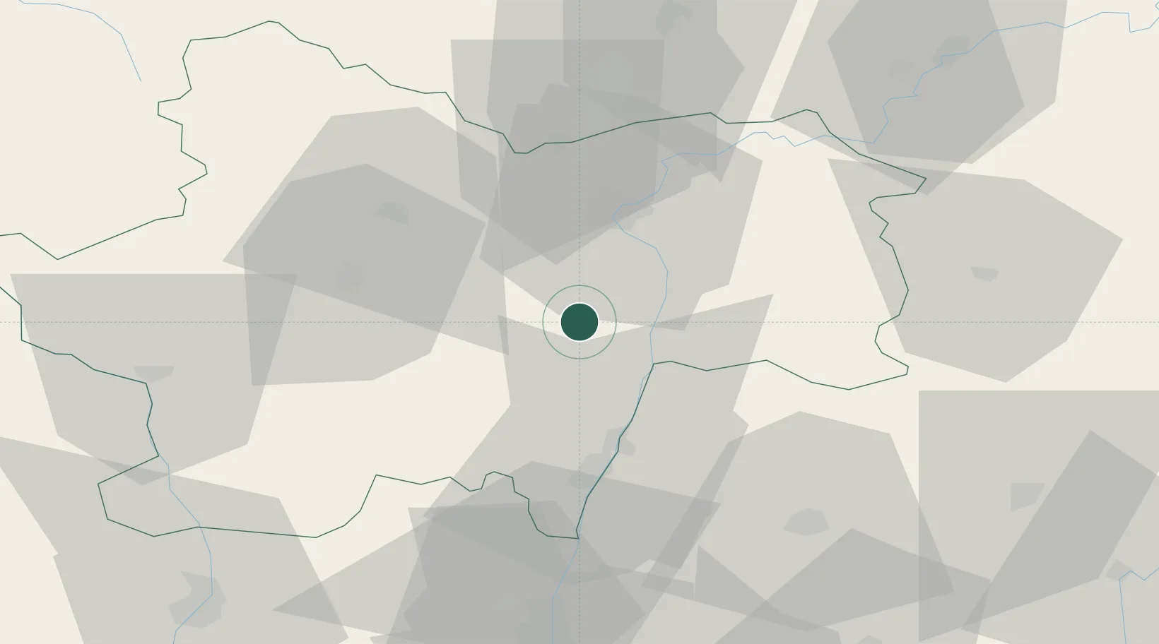
Location
Nearby Logistics Neighbours
Cities
- 1La Chapelle-sous-Brancion4 km
- 2Bissy-sous-Uxelles7 km
- 3Chalon-sur-Saône9 km
- 4Lacrost9 km
- 5Cruzille9 km
Ports
- 1Fos352 km
- 2Port-de-Bouc354 km
- 3Port Saint Louis Du Rhone356 km
- 4Sete364 km
- 5Marseille366 km
Airports
- 1Mâcon-Charnay Airfield32 km
- 2Saint-Yan Airport63 km
- 3Dole Tavaux Airport70 km
- 4Ambérieu Air Base (BA 278)78 km
- 5Dijon Longvic airport79 km
Trade Zones
- 1ZFU Chenôve80 km
- 2ZFU Rillieux-la-Pape84 km
- 3ZFU Vaulx-en-Velin90 km
- 4ZFU Lyon 9e90 km
- 5ZFU Vénissieux99 km
DatabookThe Record of Consolidated Knowledge
France beyond logistics?