Transport Functions
Multimodal
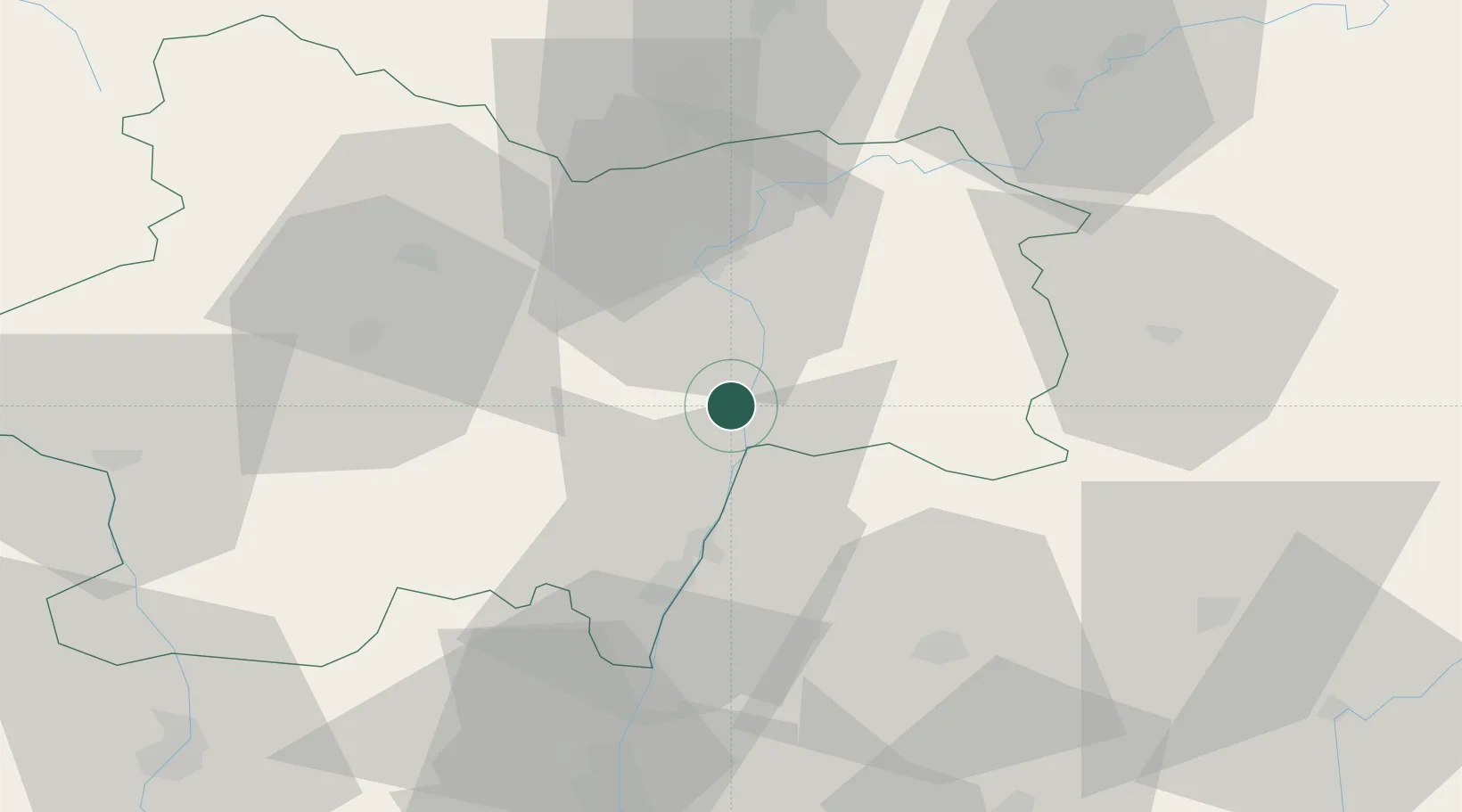
Hub Profile
Place type
Populated place
Region
Bourgogne
Population
602
Time zone
Europe/Paris
Elevation
195 m
Location
Nearby Logistics Neighbours
Cities
- 1Farges-lès-Mâcon6 km
- 2Uchizy8 km
- 3Chardonnay8 km
- 4Loisy9 km
- 5Étrigny9 km
Ports
- 1Fos350 km
- 2Port-de-Bouc352 km
- 3Port Saint Louis Du Rhone354 km
- 4Marseille363 km
- 5Sete365 km
Airports
- 1Mâcon-Charnay Airfield32 km
- 2Dole Tavaux Airport65 km
- 3Saint-Yan Airport71 km
- 4Ambérieu Air Base (BA 278)72 km
- 5Dijon Longvic airport79 km
Trade Zones
- 1ZFU Chenôve81 km
- 2ZFU Rillieux-la-Pape82 km
- 3ZFU Vaulx-en-Velin87 km
- 4ZFU Lyon 9e89 km
- 5ZFU Vénissieux97 km
DatabookThe Record of Consolidated Knowledge
France beyond logistics?