Transport Functions
Port
Road
Hub Profile
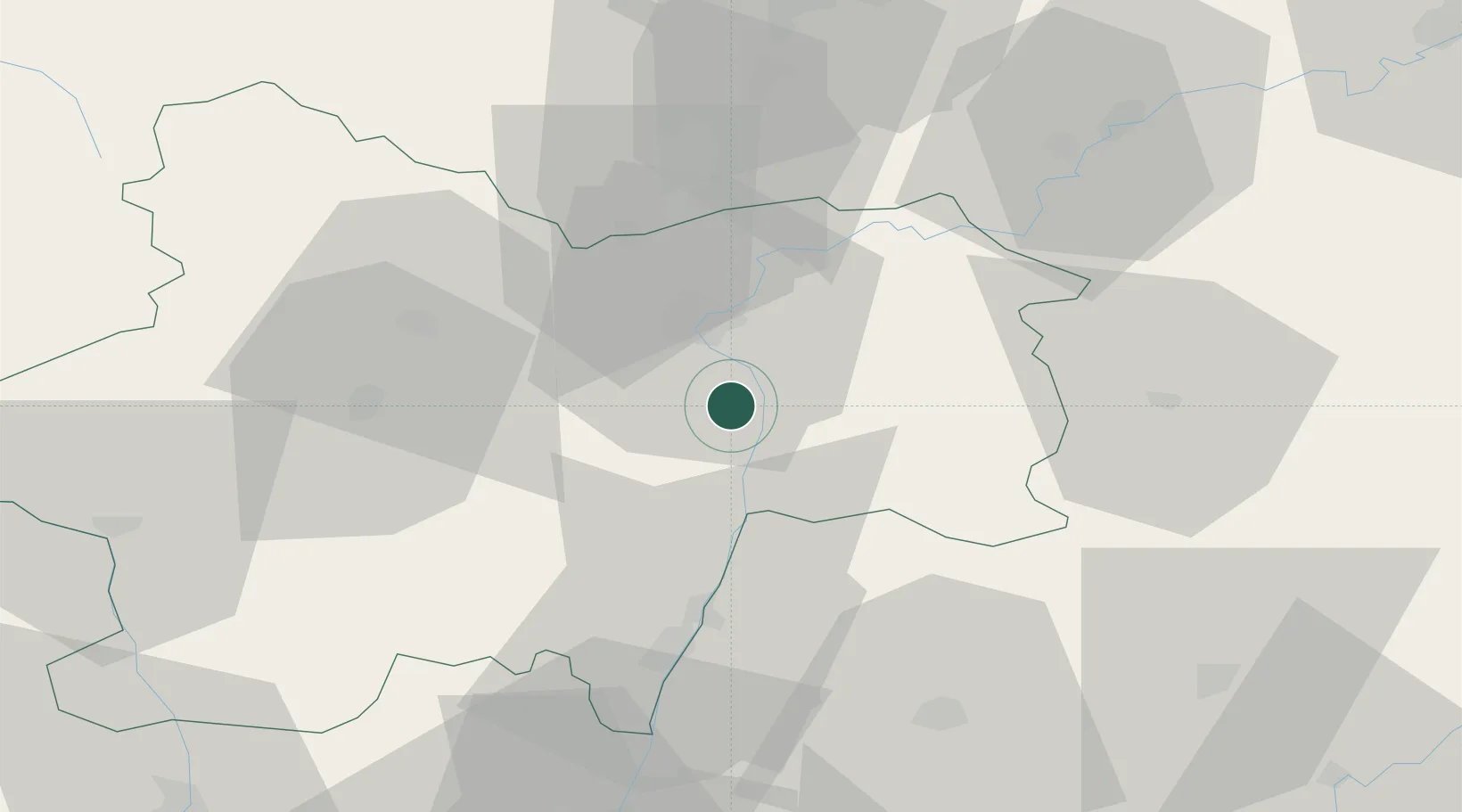
Place type
Populated place
Region
Bourgogne
Population
506
Time zone
Europe/Paris
Elevation
179 m
Location
Nearby Logistics Neighbours
Cities
- 1Chalon-sur-Saône6 km
- 2Épervans9 km
- 3Lacrost11 km
- 4Saint-Marcel11 km
- 5Loisy13 km
Ports
- 1Fos361 km
- 2Port-de-Bouc363 km
- 3Port Saint Louis Du Rhone365 km
- 4Marseille374 km
- 5Sete376 km
Airports
- 1Mâcon-Charnay Airfield42 km
- 2Dole Tavaux Airport57 km
- 3Dijon Longvic airport68 km
- 4Saint-Yan Airport75 km
- 5Ambérieu Air Base (BA 278)82 km
Trade Zones
- 1ZFU Chenôve70 km
- 2ZFU Rillieux-la-Pape94 km
- 3ZFU Vaulx-en-Velin99 km
- 4ZFU Lyon 9e100 km
- 5Geneva Cointrin International Airport Free Port103 km
DatabookThe Record of Consolidated Knowledge
France beyond logistics?