UN/LOCODE hub · France
FRMV6

Minerve

43.3500°, 2.7500°
112
Population
1
Transport functions

Transport Functions

Multimodal
UN/LOCODE

Hub Profile

Place type
Populated place
GeoNames
Region
Occitanie
GeoNames
Population
112
GeoNames
Time zone
Europe/Paris
GeoNames
Elevation
183 m
GeoNames

Location

Location of FRMV6
Natural Earth 10m (public domain) · Occitanie · FRMV6 · 43.35, 2.75GoogleOSMYandex

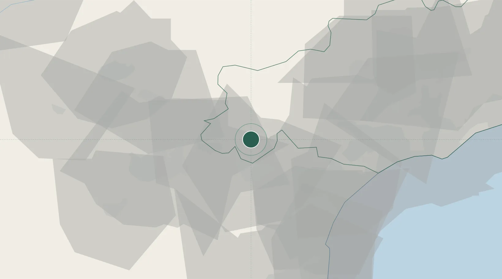
Nearby Logistics Neighbours

Cities
  1. 1Cesseras3 km
  2. 2Azillanet4 km
  3. 3Aigne6 km
  4. 4Aigues-Vives6 km
  5. 5Beaufort6 km
Nearest neighbours — logibook spatial index (haversine) over the source coordinates
Ports
  1. 1Port-La-Nouvelle45 km
  2. 2Sete77 km
  3. 3Port-Vendres97 km
  4. 4Rosas126 km
  5. 5Port Saint Louis Du Rhone167 km
Nearest neighbours — logibook spatial index (haversine) over the source coordinates
Airports
  1. 1Carcassonne Salvaza Airport39 km
  2. 2Castres Mazamet Airport44 km
  3. 3Béziers Vias airport49 km
  4. 4Perpignan-Rivesaltes (Llabanère) Airport69 km
  5. 5Albi Le Sequestre airport81 km
Nearest neighbours — logibook spatial index (haversine) over the source coordinates
Trade Zones
  1. 1ZFU Béziers38 km
  2. 2ZFU Perpignan73 km
  3. 3ZFU Montpellier93 km
  4. 4ZFU Toulouse109 km
  5. 5ZFU Nîmes139 km
Nearest neighbours — logibook spatial index (haversine) over the source coordinates
DatabookThe Record of Consolidated Knowledge
France beyond logistics?
Browse databook

All Sources

LocationsUN/LOCODE
UN/LOCODE — free
LocationsGeoNames
CC BY 4.0
Portsthe NGA World Port Index
Public domain (US gov)
AirportsOurAirports
Public domain
Trade Zonesthe World Bank SEZ database
CC BY 4.0
Trade ZonesOpen Zone Map
CC BY
← France locations