UN/LOCODE hub · France
FRB34

Beaufort

43.3000°, 2.7667°
175
Population
2
Transport functions

Transport Functions

Road
Multimodal
UN/LOCODE

Hub Profile

Place type
Populated place
GeoNames
Region
Occitanie
GeoNames
Population
175
GeoNames
Time zone
Europe/Paris
GeoNames
Elevation
96 m
GeoNames

Location

Location of FRB34
Natural Earth 10m (public domain) · Occitanie · FRB34 · 43.30, 2.77GoogleOSMYandex

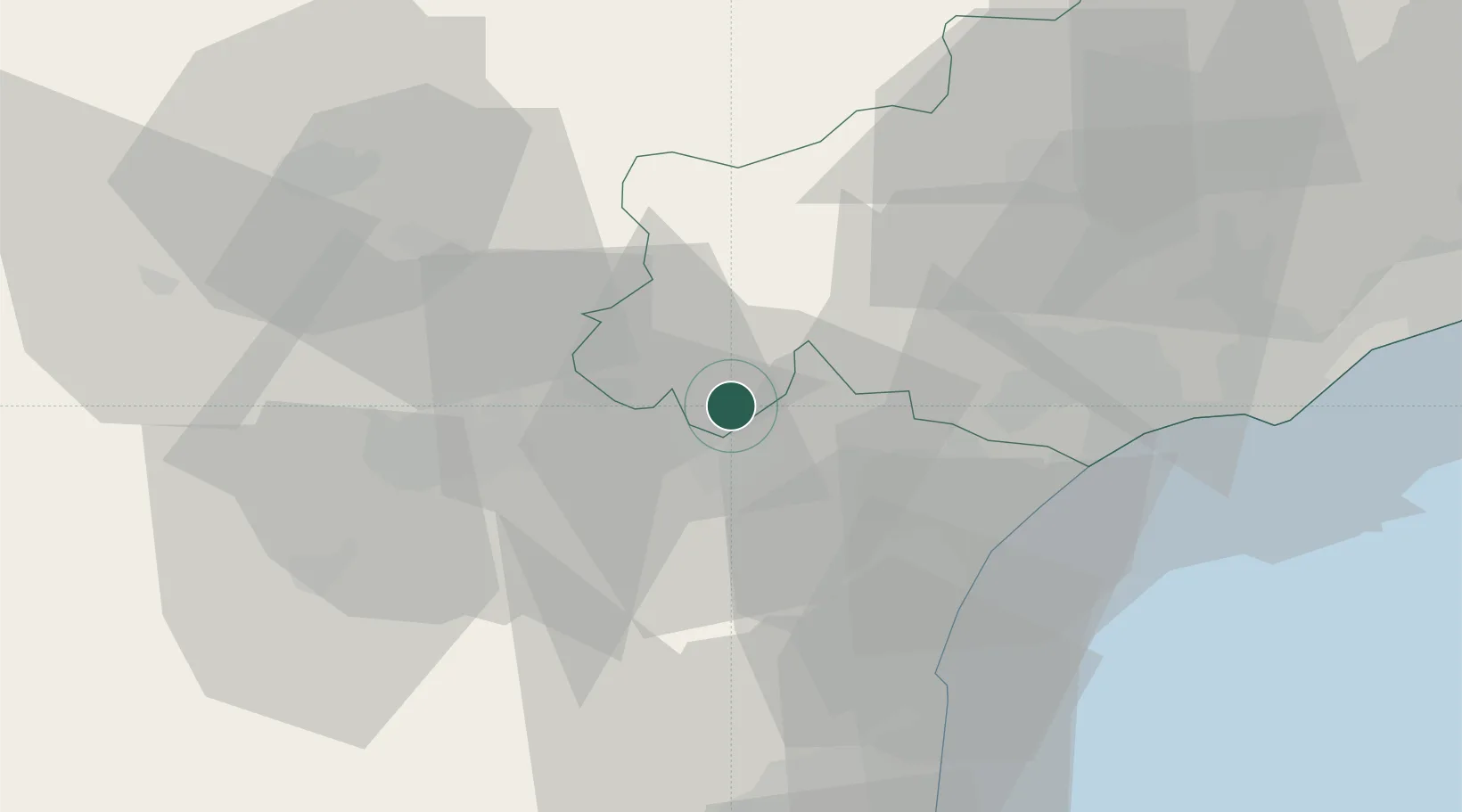
Nearby Logistics Neighbours

Cities
  1. 1Azillanet3 km
  2. 2Olonzac5 km
  3. 3Pépieux5 km
  4. 4Aigne6 km
  5. 5Aigues-Vives6 km
Nearest neighbours — logibook spatial index (haversine) over the source coordinates
Ports
  1. 1Port-La-Nouvelle40 km
  2. 2Sete76 km
  3. 3Port-Vendres92 km
  4. 4Rosas120 km
  5. 5Palamos166 km
Nearest neighbours — logibook spatial index (haversine) over the source coordinates
Airports
  1. 1Carcassonne Salvaza Airport38 km
  2. 2Béziers Vias airport48 km
  3. 3Castres Mazamet Airport48 km
  4. 4Perpignan-Rivesaltes (Llabanère) Airport63 km
  5. 5Albi Le Sequestre airport86 km
Nearest neighbours — logibook spatial index (haversine) over the source coordinates
Trade Zones
  1. 1ZFU Béziers37 km
  2. 2ZFU Perpignan68 km
  3. 3ZFU Montpellier94 km
  4. 4ZFU Toulouse112 km
  5. 5ZFU Nîmes140 km
Nearest neighbours — logibook spatial index (haversine) over the source coordinates
DatabookThe Record of Consolidated Knowledge
France beyond logistics?
Browse databook

All Sources

LocationsUN/LOCODE
UN/LOCODE — free
LocationsGeoNames
CC BY 4.0
Portsthe NGA World Port Index
Public domain (US gov)
AirportsOurAirports
Public domain
Trade Zonesthe World Bank SEZ database
CC BY 4.0
Trade ZonesOpen Zone Map
CC BY
← France locations