Transport Functions
Multimodal
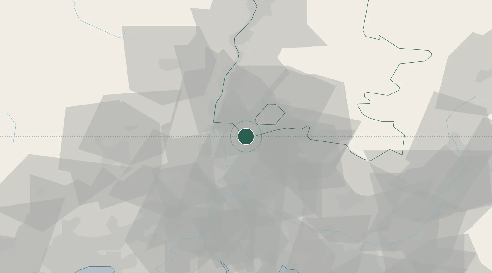
Hub Profile
Place type
Populated place
Region
Rhône-Alpes
Population
1,322
Time zone
Europe/Paris
Elevation
143 m
Location
Nearby Logistics Neighbours
Cities
- 1Sérignan-du-Comtat8 km
- 2Bollène9 km
- 3Travaillan9 km
- 4Mondragon10 km
- 5Saint-Roman-de-Malegarde11 km
Ports
- 1Fos93 km
- 2Port-de-Bouc95 km
- 3Port Saint Louis Du Rhone96 km
- 4Marseille112 km
- 5Sete131 km
Airports
Trade Zones
- 1ZFU Avignon34 km
- 2ZFU Nîmes61 km
- 3ZFU Valence75 km
- 4ZFU Montpellier107 km
- 5ZFU Marseille 15e et 16e111 km
DatabookThe Record of Consolidated Knowledge
France beyond logistics?