Transport Functions
Multimodal
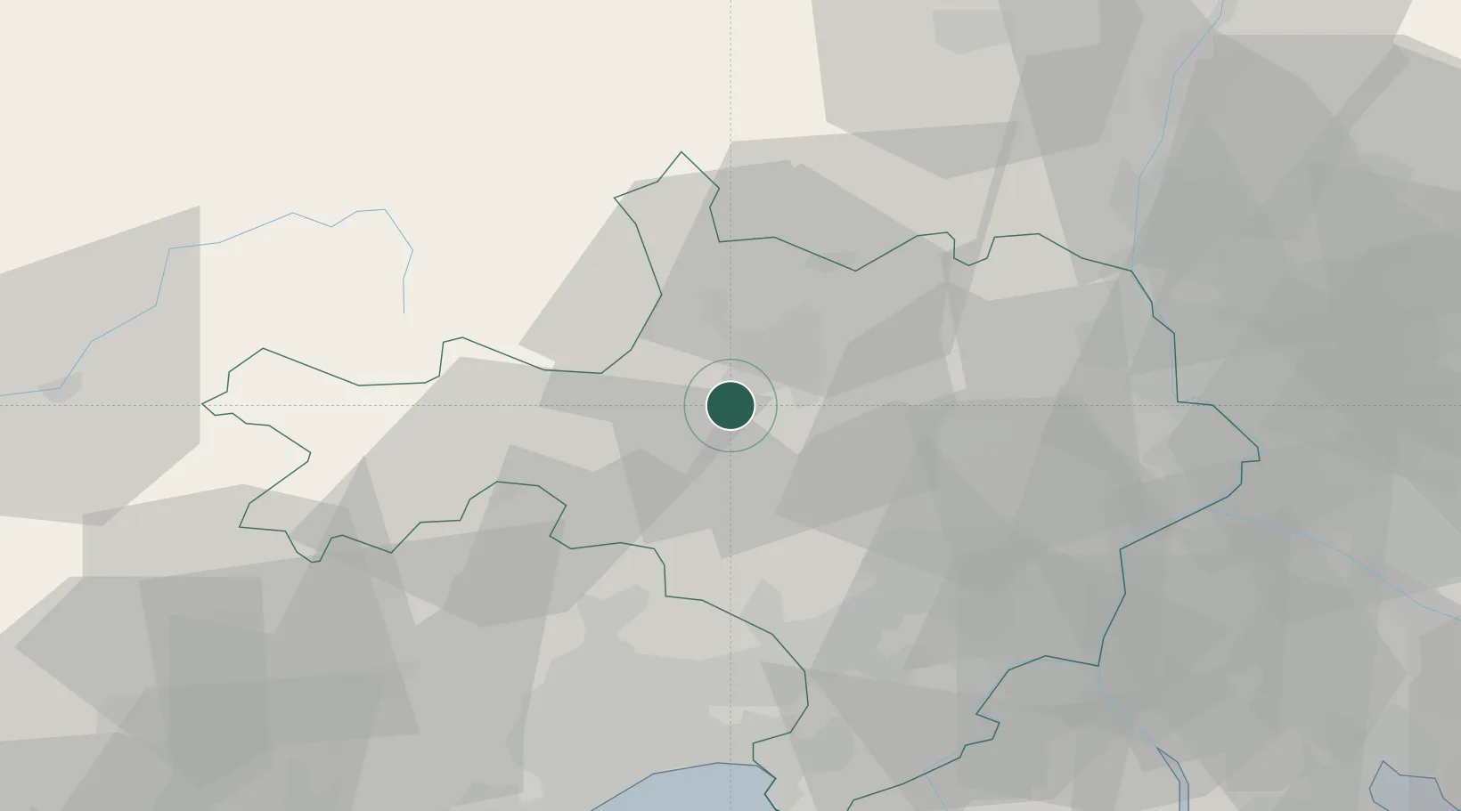
Hub Profile
Place type
Populated place
Region
Occitanie
Population
2,200
Time zone
Europe/Paris
Elevation
157 m
Location
Nearby Logistics Neighbours
Cities
- 1Alès6 km
- 2Ribaute-les-Tavernes6 km
- 3Générargues7 km
- 4Vézénobres8 km
- 5Anduze8 km
Ports
- 1Sete82 km
- 2Port Saint Louis Du Rhone98 km
- 3Fos99 km
- 4Port-de-Bouc106 km
- 5Marseille135 km
Airports
Trade Zones
- 1ZFU Nîmes37 km
- 2ZFU Montpellier56 km
- 3ZFU Avignon61 km
- 4ZFU Béziers108 km
- 5ZFU Valence112 km
DatabookThe Record of Consolidated Knowledge
France beyond logistics?