Transport Functions
Rail
Road
Hub Profile
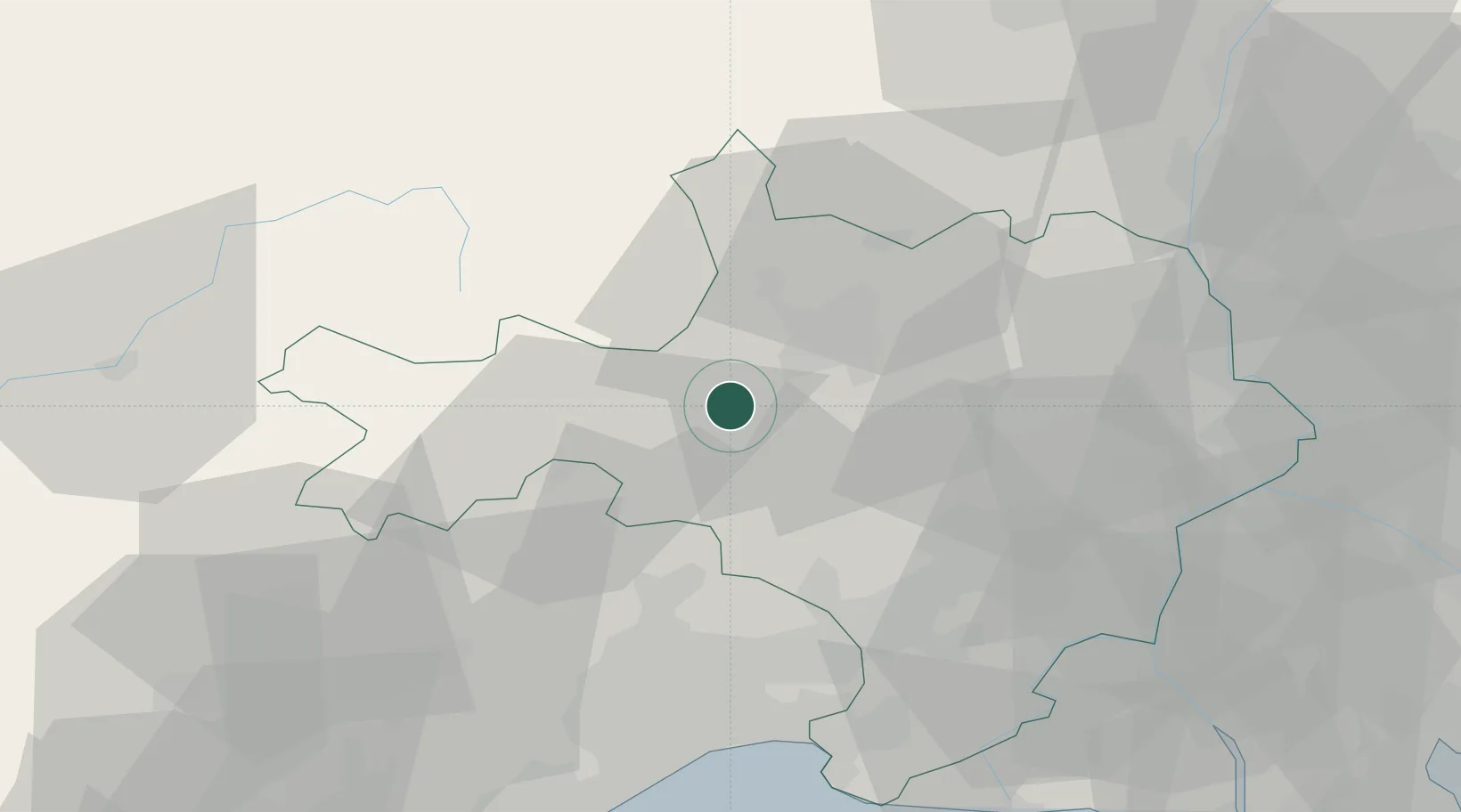
Place type
Populated place
Region
Occitanie
Population
3,295
Time zone
Europe/Paris
Elevation
148 m
Location
Nearby Logistics Neighbours
Cities
- 1Générargues4 km
- 2Tornac4 km
- 3Durfort-et-Saint-Martin-de-Sossenac8 km
- 4Bagard8 km
- 5Ribaute-les-Tavernes8 km
Ports
- 1Sete76 km
- 2Port Saint Louis Du Rhone100 km
- 3Fos101 km
- 4Port-de-Bouc108 km
- 5Port-La-Nouvelle137 km
Airports
Trade Zones
- 1ZFU Nîmes38 km
- 2ZFU Montpellier51 km
- 3ZFU Avignon67 km
- 4ZFU Béziers101 km
- 5ZFU Valence119 km
DatabookThe Record of Consolidated Knowledge
France beyond logistics?