Transport Functions
Rail
Hub Profile
Place type
District seat
Region
Occitanie
Population
42,410
Time zone
Europe/Paris
Elevation
135 m
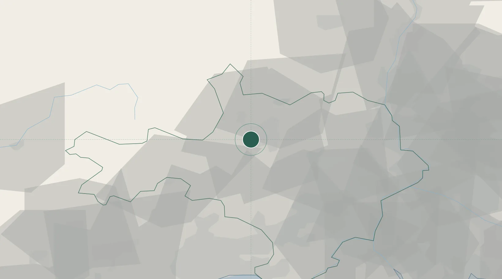
Location
Nearby Logistics Neighbours
Cities
- 1Bagard6 km
- 2Générargues10 km
- 3La Grand-Combe10 km
- 4Vézénobres11 km
- 5Ribaute-les-Tavernes11 km
Ports
- 1Sete87 km
- 2Port Saint Louis Du Rhone102 km
- 3Fos102 km
- 4Port-de-Bouc109 km
- 5Marseille137 km
Airports
Trade Zones
- 1ZFU Nîmes40 km
- 2ZFU Avignon61 km
- 3ZFU Montpellier62 km
- 4ZFU Valence107 km
- 5ZFU Béziers113 km
DatabookThe Record of Consolidated Knowledge
France beyond logistics?