Transport Functions
Multimodal
Hub Profile
Place type
Populated place
Region
Occitanie
Population
702
Time zone
Europe/Paris
Elevation
178 m
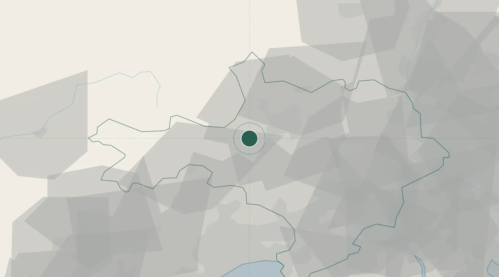
Location
Nearby Logistics Neighbours
Cities
- 1Anduze4 km
- 2Bagard7 km
- 3Tornac8 km
- 4Alès10 km
- 5Ribaute-les-Tavernes10 km
Ports
- 1Sete79 km
- 2Port Saint Louis Du Rhone103 km
- 3Fos104 km
- 4Port-de-Bouc111 km
- 5Port-La-Nouvelle140 km
Airports
Trade Zones
- 1ZFU Nîmes41 km
- 2ZFU Montpellier54 km
- 3ZFU Avignon67 km
- 4ZFU Béziers104 km
- 5ZFU Valence116 km
DatabookThe Record of Consolidated Knowledge
France beyond logistics?