UN/LOCODE hub · France
FRRTA

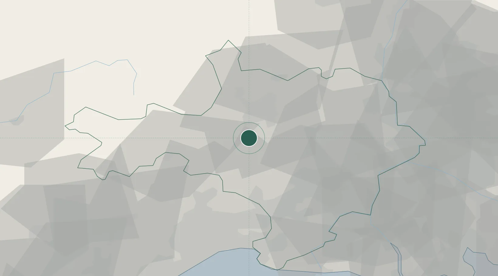
Ribaute-les-Tavernes

44.0333°, 4.0833°
1,359
Population
2
Transport functions

Transport Functions

Rail
Road
UN/LOCODE

Hub Profile

Place type
Populated place
GeoNames
Region
Occitanie
GeoNames
Population
1,359
GeoNames
Time zone
Europe/Paris
GeoNames
Elevation
125 m
GeoNames

Location

Location of FRRTA
Natural Earth 10m (public domain) · Occitanie · FRRTA · 44.03, 4.08GoogleOSMYandex

Nearby Logistics Neighbours

Cities
  1. 1Vézénobres6 km
  2. 2Bagard6 km
  3. 3Saint-Jean-de-Serres6 km
  4. 4Canaules-et-Argentières6 km
  5. 5Tornac7 km
Nearest neighbours — logibook spatial index (haversine) over the source coordinates
Ports
  1. 1Sete77 km
  2. 2Port Saint Louis Du Rhone93 km
  3. 3Fos94 km
  4. 4Port-de-Bouc101 km
  5. 5Marseille130 km
Nearest neighbours — logibook spatial index (haversine) over the source coordinates
Airports
  1. 1Aérodrome d'Alès Cévennes6 km
  2. 2Nîmes-Arles-Camargue Airport41 km
  3. 3Montpellier-Méditerranée Airport52 km
  4. 4Aubenas-South Ardèche Airport61 km
  5. 5Orange-Caritat (BA 115) Air Base64 km
Nearest neighbours — logibook spatial index (haversine) over the source coordinates
Trade Zones
  1. 1ZFU Nîmes31 km
  2. 2ZFU Montpellier51 km
  3. 3ZFU Avignon58 km
  4. 4ZFU Béziers104 km
  5. 5ZFU Valence116 km
Nearest neighbours — logibook spatial index (haversine) over the source coordinates
DatabookThe Record of Consolidated Knowledge
France beyond logistics?
Browse databook

All Sources

LocationsUN/LOCODE
UN/LOCODE — free
LocationsGeoNames
CC BY 4.0
Portsthe NGA World Port Index
Public domain (US gov)
AirportsOurAirports
Public domain
Trade Zonesthe World Bank SEZ database
CC BY 4.0
Trade ZonesOpen Zone Map
CC BY
← France locations