UN/LOCODE hub · France
FRBEL

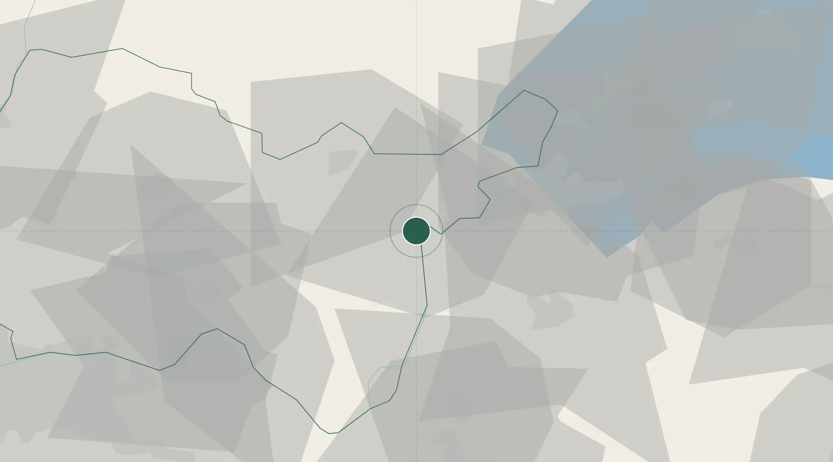
Bellegarde-sur-Valserine

46.1000°, 5.8167°
11,699
Population
3
Transport functions

Transport Functions

Rail
Road
Postal
UN/LOCODE

Hub Profile

Place type
Populated place
GeoNames
Region
Rhône-Alpes
GeoNames
Population
11,699
GeoNames
Time zone
Europe/Paris
GeoNames
Elevation
361 m
GeoNames

Location

Location of FRBEL
Natural Earth 10m (public domain) · Rhône-Alpes · FRBEL · 46.10, 5.82GoogleOSMYandex

Nearby Logistics Neighbours

Cities
  1. 1Frangy13 km
  2. 2Péron14 km
  3. 3Corbonod17 km
  4. 4La Plaine17 km
  5. 5Oyonnax21 km
Nearest neighbours — logibook spatial index (haversine) over the source coordinates
Ports
  1. 1Savona289 km
  2. 2Rada Di Vado290 km
  3. 3Nice291 km
  4. 4Monaco292 km
  5. 5Villefranche292 km
Nearest neighbours — logibook spatial index (haversine) over the source coordinates
Airports
  1. 1Geneva Cointrin International Airport27 km
  2. 2Annecy Meythet airport29 km
  3. 3Annemasse Airfield36 km
  4. 4Ambérieu Air Base (BA 278)40 km
  5. 5Chambéry Aix les Bains airport52 km
Nearest neighbours — logibook spatial index (haversine) over the source coordinates
Trade Zones
  1. 1Port Franc de Geneve23 km
  2. 2Geneva Cointrin International Airport Free Port24 km
  3. 3Geneva Freeport, La Praille, Geneva26 km
  4. 4Port Franc Vevey70 km
  5. 5ZFU Vaulx-en-Velin78 km
Nearest neighbours — logibook spatial index (haversine) over the source coordinates
DatabookThe Record of Consolidated Knowledge
France beyond logistics?
Browse databook

All Sources

LocationsUN/LOCODE
UN/LOCODE — free
LocationsGeoNames
CC BY 4.0
Portsthe NGA World Port Index
Public domain (US gov)
AirportsOurAirports
Public domain
Trade Zonesthe World Bank SEZ database
CC BY 4.0
Trade ZonesOpen Zone Map
CC BY
← France locations