Transport Functions
Rail
Postal
Hub Profile
Place type
Populated place
Region
Rhône-Alpes
Population
25,697
Time zone
Europe/Paris
Elevation
556 m
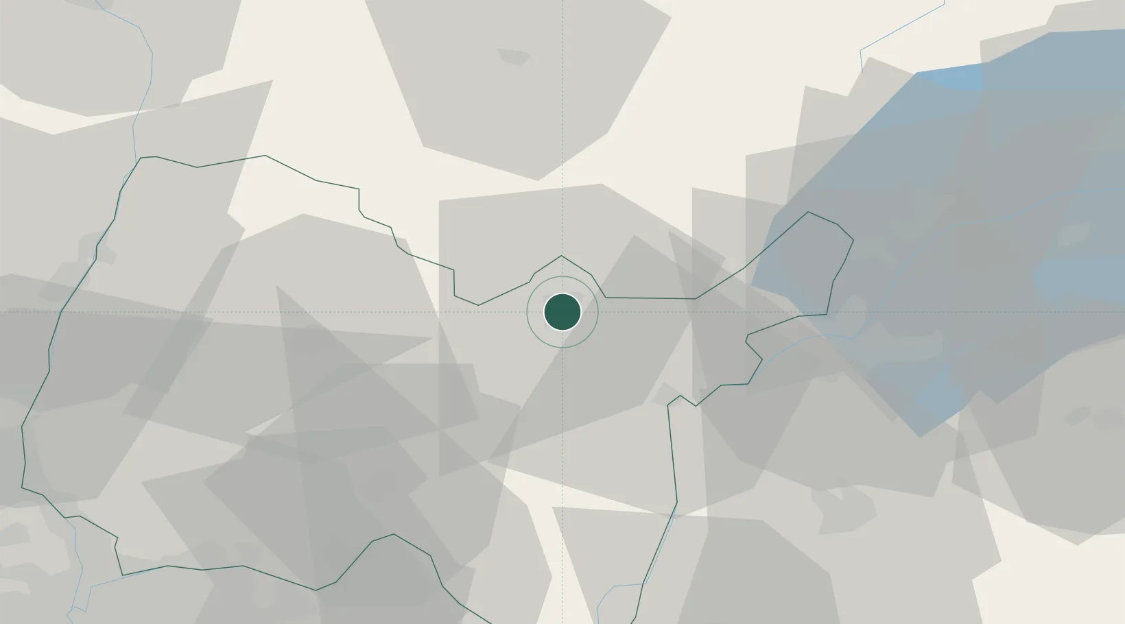
Location
Nearby Logistics Neighbours
Cities
- 1Molinges14 km
- 2Chassal17 km
- 3Nivigne et Suran17 km
- 4Pratz17 km
- 5Bellegarde-sur-Valserine21 km
Ports
- 1Savona310 km
- 2Rada Di Vado311 km
- 3Nice311 km
- 4Villefranche312 km
- 5Monaco312 km
Airports
Trade Zones
DatabookThe Record of Consolidated Knowledge
France beyond logistics?