Transport Functions
Multimodal
Hub Profile
Place type
Populated place
Region
Rhône-Alpes
Population
977
Time zone
Europe/Paris
Elevation
348 m
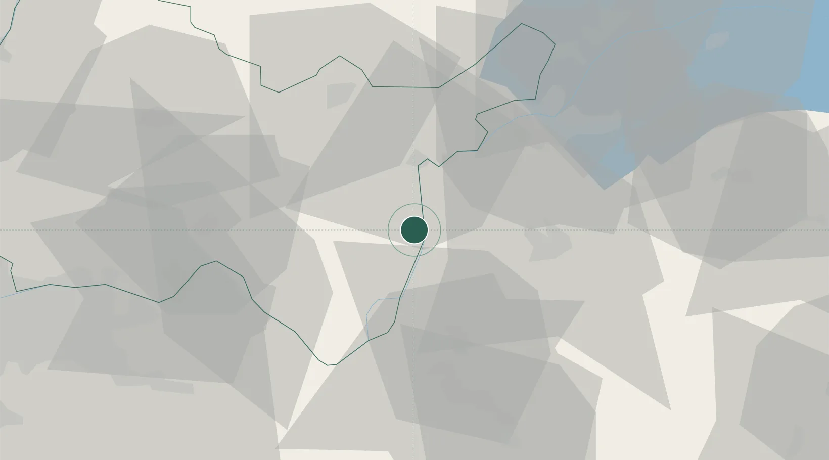
Location
Nearby Logistics Neighbours
Cities
- 1Vallières11 km
- 2Ruffieux11 km
- 3Culoz11 km
- 4Frangy12 km
- 5Bellegarde-sur-Valserine17 km
Ports
- 1Nice276 km
- 2Villefranche277 km
- 3Monaco277 km
- 4Antibes283 km
- 5Cannes283 km
Airports
Trade Zones
DatabookThe Record of Consolidated Knowledge
France beyond logistics?