Transport Functions
Port
Hub Profile
Place type
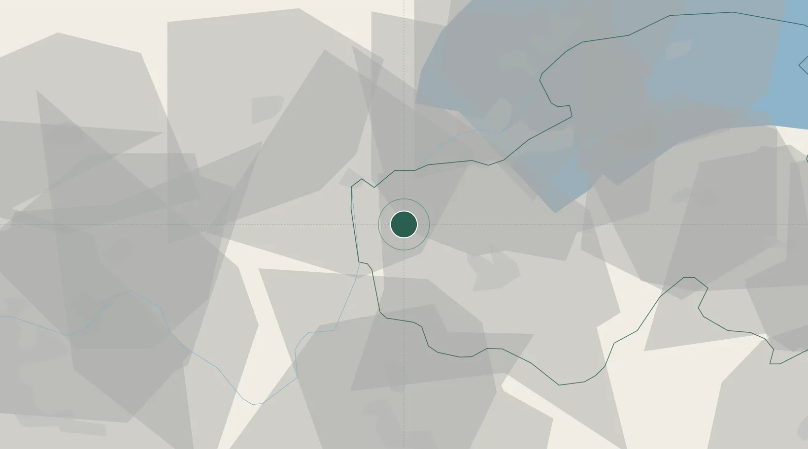
Populated place
Region
Rhône-Alpes
Population
1,779
Time zone
Europe/Paris
Elevation
345 m
Location
Nearby Logistics Neighbours
Cities
- 1Corbonod12 km
- 2Bellegarde-sur-Valserine13 km
- 3Vallières13 km
- 4Nonglard14 km
- 5Poisy15 km
Ports
- 1Savona276 km
- 2Rada Di Vado277 km
- 3Nice279 km
- 4Monaco280 km
- 5Villefranche280 km
Airports
Trade Zones
DatabookThe Record of Consolidated Knowledge
France beyond logistics?