Transport Functions
Rail
Road
Hub Profile
Place type
Populated place
Region
Geneva
Time zone
Europe/Zurich
Elevation
353 m
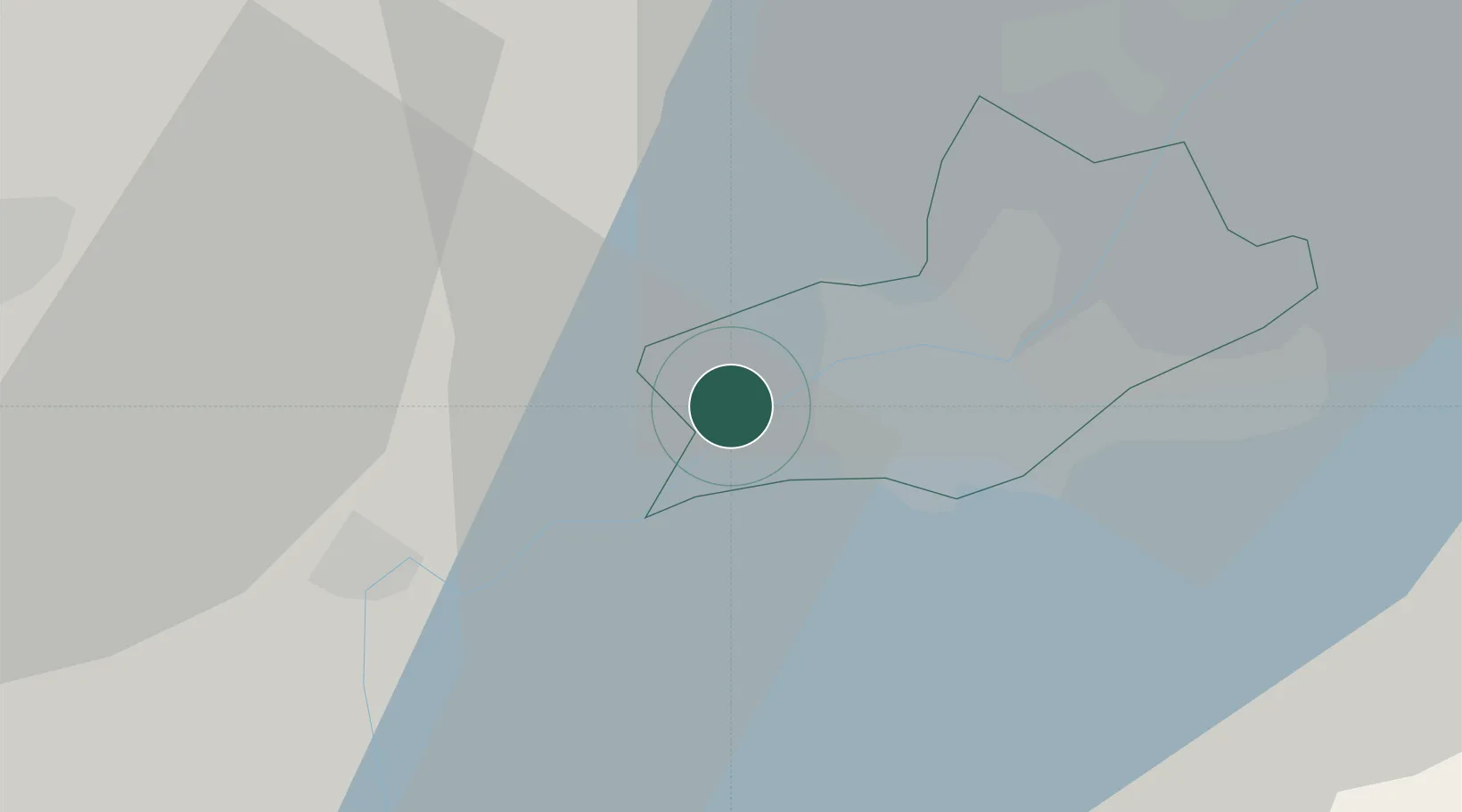
Location
Nearby Logistics Neighbours
Cities
- 1Satigny5 km
- 2Péron6 km
- 3Onex8 km
- 4Genève8 km
- 5Châtelaine9 km
Ports
- 1Savona285 km
- 2Rada Di Vado287 km
- 3Nice294 km
- 4Monaco294 km
- 5Villefranche295 km
Airports
DatabookThe Record of Consolidated Knowledge
Switzerland beyond logistics?