Transport Functions
Road
Multimodal
Hub Profile
Place type
Populated place
Region
Rhône-Alpes
Population
1,729
Time zone
Europe/Paris
Elevation
542 m
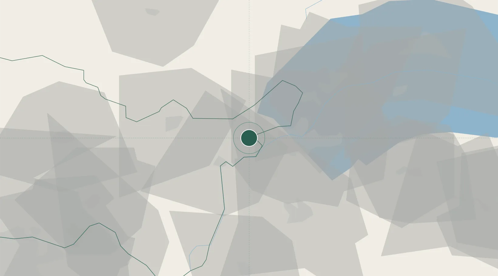
Location
Nearby Logistics Neighbours
Cities
- 1La Plaine6 km
- 2Satigny8 km
- 3Genève13 km
- 4Onex13 km
- 5Châtelaine14 km
Ports
- 1Savona290 km
- 2Rada Di Vado292 km
- 3Nice298 km
- 4Monaco298 km
- 5Villefranche299 km
Airports
DatabookThe Record of Consolidated Knowledge
France beyond logistics?