Transport Functions
Road
Multimodal
Hub Profile
Place type
Populated place
Region
Rhône-Alpes
Population
585
Time zone
Europe/Paris
Elevation
845 m
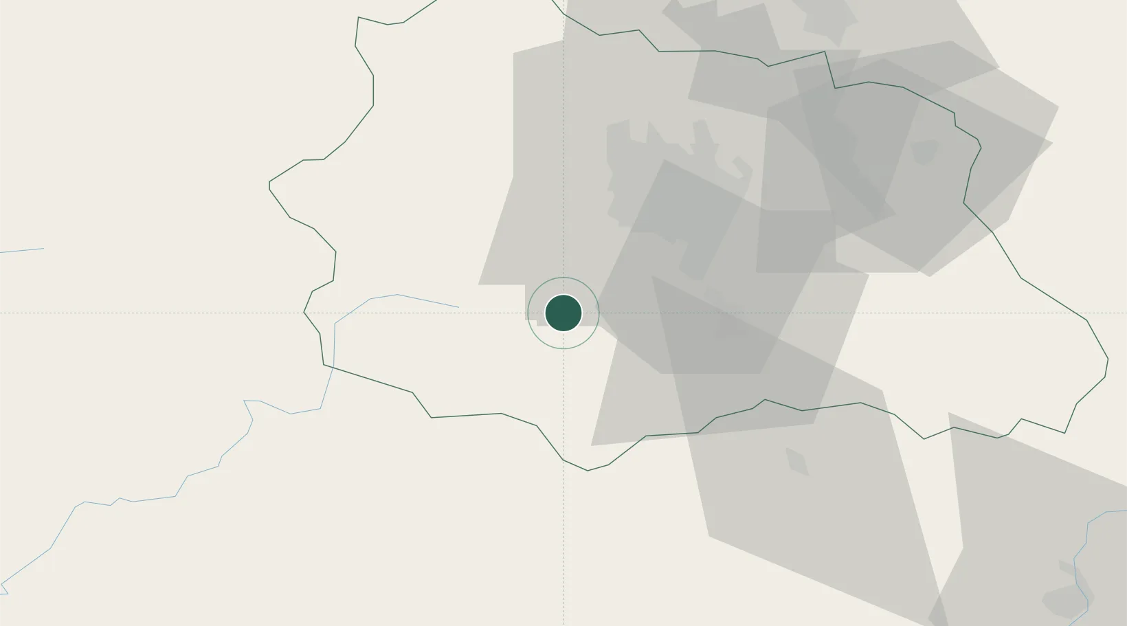
Location
Nearby Logistics Neighbours
Cities
- 1Mont-Dore11 km
- 2Montaigut-le-Blanc12 km
- 3Saint-Sandoux14 km
- 4La Bourboule16 km
- 5Ronzieres17 km
Ports
- 1Sete250 km
- 2Ambes280 km
- 3Port-La-Nouvelle286 km
- 4Fos286 km
- 5Port Saint Louis Du Rhone286 km
Airports
- 1Clermont-Ferrand Auvergne airport28 km
- 2Vichy-Charmeil Airport74 km
- 3Montluçon-Guéret Airport84 km
- 4Le Puy-Loudes Airfield85 km
- 5Aurillac airport87 km
Trade Zones
- 1ZFU Clermont-Ferrand25 km
- 2ZFU Saint-Etienne106 km
- 3ZFU Lyon 9e146 km
- 4ZFU Vénissieux148 km
- 5ZFU Rillieux-la-Pape151 km
DatabookThe Record of Consolidated Knowledge
France beyond logistics?