UN/LOCODE hub · France
FRTSY

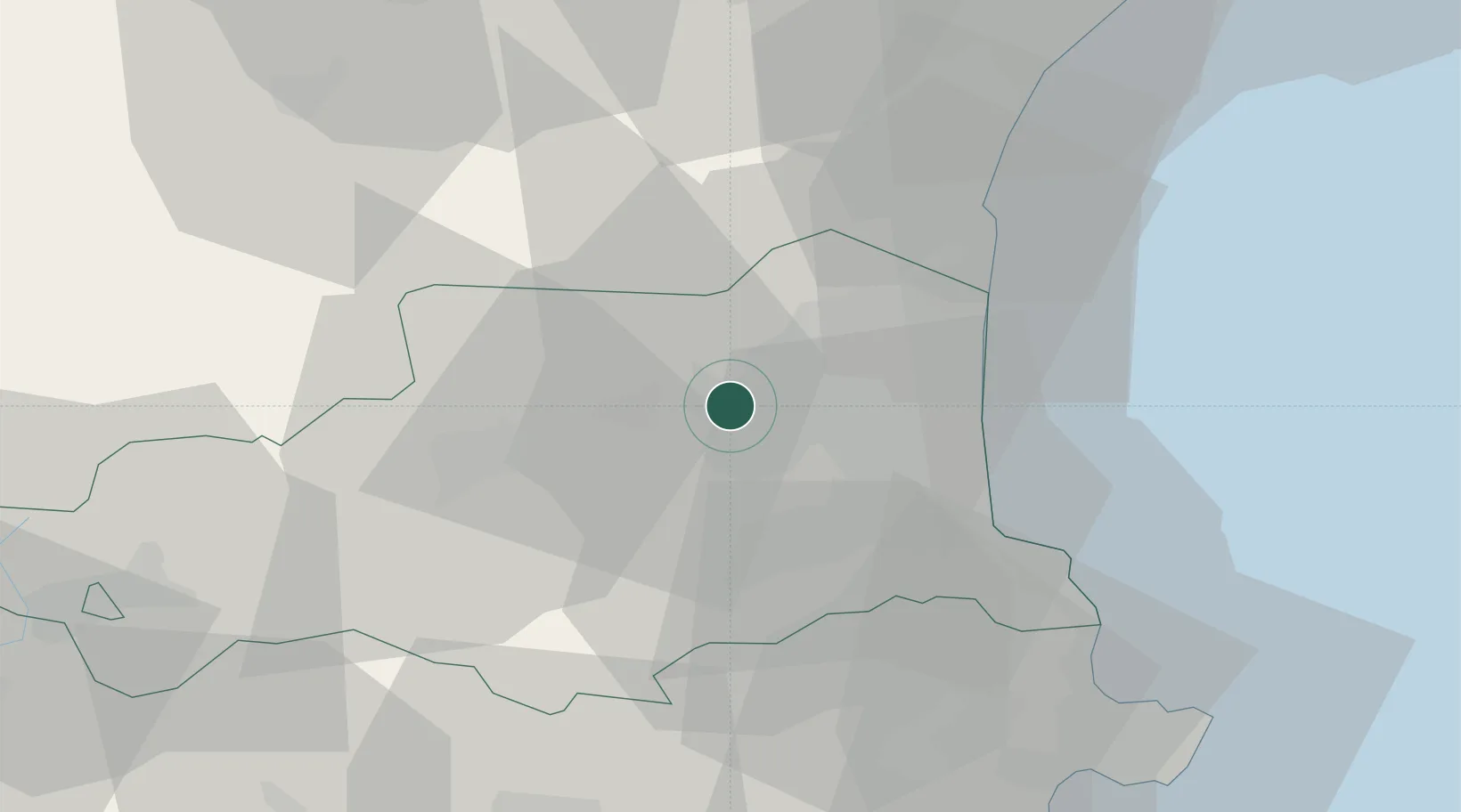
Corneilla-la-Rivière

42.7000°, 2.7333°
1,538
Population
1
Transport functions

Transport Functions

Multimodal
UN/LOCODE

Hub Profile

Place type
Populated place
GeoNames
Region
Occitanie
GeoNames
Population
1,538
GeoNames
Time zone
Europe/Paris
GeoNames
Elevation
90 m
GeoNames

Location

Location of FRTSY
Natural Earth 10m (public domain) · Occitanie · FRTSY · 42.70, 2.73GoogleOSMYandex

Nearby Logistics Neighbours

Cities
  1. 1Saint-Féliu-d'Avall2 km
  2. 2Millas3 km
  3. 3Pézilla-la-Rivière3 km
  4. 4Villeneuve-la-Rivière5 km
  5. 5Le Soler6 km
Nearest neighbours — logibook spatial index (haversine) over the source coordinates
Ports
  1. 1Port-Vendres37 km
  2. 2Port-La-Nouvelle45 km
  3. 3Rosas61 km
  4. 4Palamos101 km
  5. 5San Feliu De Guixols105 km
Nearest neighbours — logibook spatial index (haversine) over the source coordinates
Airports
  1. 1Perpignan-Rivesaltes (Llabanère) Airport12 km
  2. 2Carcassonne Salvaza Airport67 km
  3. 3Béziers Vias airport86 km
  4. 4Girona-Costa Brava Airport89 km
  5. 5Folgueroles Airfield90 km
Nearest neighbours — logibook spatial index (haversine) over the source coordinates
Trade Zones
  1. 1ZFU Perpignan13 km
  2. 2ZFU Béziers81 km
  3. 3ZFU Montpellier135 km
  4. 4ZFU Toulouse145 km
  5. 5Zona Franca de Barcelona160 km
Nearest neighbours — logibook spatial index (haversine) over the source coordinates
DatabookThe Record of Consolidated Knowledge
France beyond logistics?
Browse databook

All Sources

LocationsUN/LOCODE
UN/LOCODE — free
LocationsGeoNames
CC BY 4.0
Portsthe NGA World Port Index
Public domain (US gov)
AirportsOurAirports
Public domain
Trade Zonesthe World Bank SEZ database
CC BY 4.0
Trade ZonesOpen Zone Map
CC BY
← France locations