Transport Functions
Road
Multimodal
Hub Profile
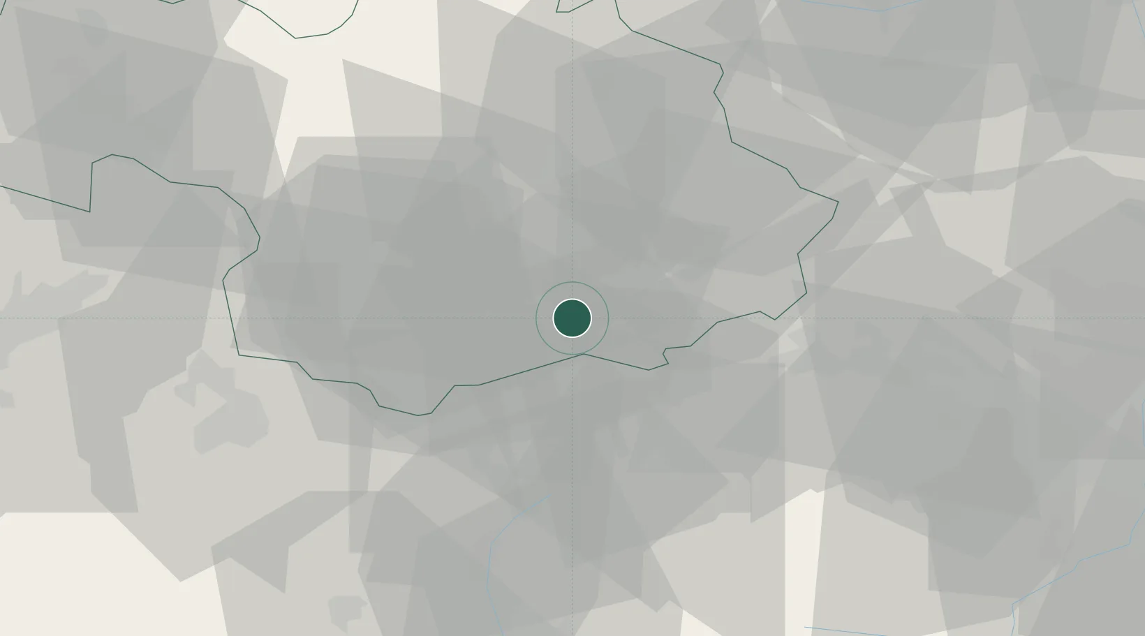
Place type
Populated place
Region
Rhône-Alpes
Population
356
Time zone
Europe/Paris
Elevation
1,109 m
Location
Nearby Logistics Neighbours
Cities
- 1Modane4 km
- 2Fourneaux9 km
- 3Saint-Jean-de-Maurienne30 km
- 4Landry37 km
- 5Petit-Cur37 km
Ports
- 1Savona173 km
- 2Rada Di Vado173 km
- 3Monaco174 km
- 4Nice175 km
- 5Villefranche175 km
Airports
- 1Torino-Aeritalia Airport71 km
- 2Turin Airport73 km
- 3Aosta Corrado Gex Airport77 km
- 4Chambéry Aix les Bains airport80 km
- 5Annecy Meythet airport93 km
Trade Zones
- 1Aosta Valley57 km
- 2ZFU Grenoble81 km
- 3Geneva Freeport, La Praille, Geneva117 km
- 4Port Franc de Geneve118 km
- 5Geneva Cointrin International Airport Free Port121 km
DatabookThe Record of Consolidated Knowledge
France beyond logistics?