UN/LOCODE hub · France
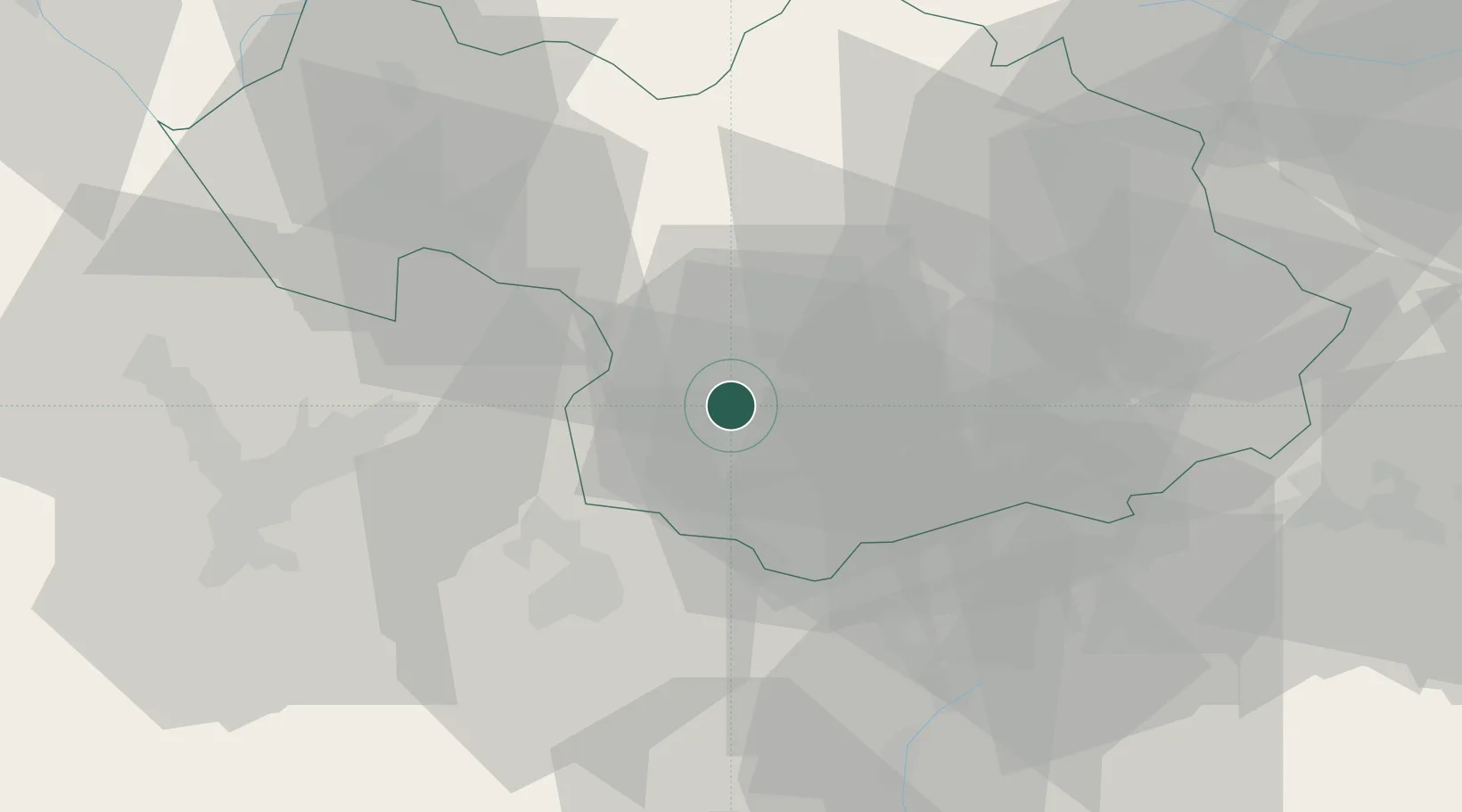
FRSJD

Saint-Jean-de-Maurienne

45.2833°, 6.3500°
9,536
Population
2
Transport functions

Transport Functions

Rail
Road
UN/LOCODE

Hub Profile

Place type
District seat
GeoNames
Region
Rhône-Alpes
GeoNames
Population
9,536
GeoNames
Time zone
Europe/Paris
GeoNames
Elevation
541 m
GeoNames

Location

Location of FRSJD
Natural Earth 10m (public domain) · Rhône-Alpes · FRSJD · 45.28, 6.35GoogleOSMYandex

Nearby Logistics Neighbours

Cities
  1. 1Fourneaux26 km
  2. 2Modane27 km
  3. 3Theys27 km
  4. 4Aiguebelle28 km
  5. 5Petit-Cur29 km
Nearest neighbours — logibook spatial index (haversine) over the source coordinates
Ports
  1. 1Nice191 km
  2. 2Monaco192 km
  3. 3Villefranche192 km
  4. 4San Remo199 km
  5. 5Antibes199 km
Nearest neighbours — logibook spatial index (haversine) over the source coordinates
Airports
  1. 1Chambéry Aix les Bains airport54 km
  2. 2Annecy Meythet airport74 km
  3. 3Grenoble Alpes Isère Airport80 km
  4. 4Aosta Corrado Gex Airport94 km
  5. 5Torino-Aeritalia Airport101 km
Nearest neighbours — logibook spatial index (haversine) over the source coordinates
Trade Zones
  1. 1ZFU Grenoble54 km
  2. 2Aosta Valley61 km
  3. 3Geneva Freeport, La Praille, Geneva102 km
  4. 4Port Franc de Geneve103 km
  5. 5Geneva Cointrin International Airport Free Port105 km
Nearest neighbours — logibook spatial index (haversine) over the source coordinates
DatabookThe Record of Consolidated Knowledge
France beyond logistics?
Browse databook

All Sources

LocationsUN/LOCODE
UN/LOCODE — free
LocationsGeoNames
CC BY 4.0
Portsthe NGA World Port Index
Public domain (US gov)
AirportsOurAirports
Public domain
Trade Zonesthe World Bank SEZ database
CC BY 4.0
Trade ZonesOpen Zone Map
CC BY
← France locations