Transport Functions
Multimodal
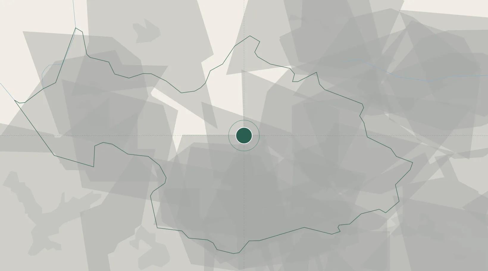
Hub Profile
Region
73
Location
Nearby Logistics Neighbours
Cities
- 1Aiguebelle16 km
- 2Landry19 km
- 3Albertville19 km
- 4Tournon20 km
- 5Fréterive23 km
Ports
- 1Savona206 km
- 2Rada Di Vado208 km
- 3Monaco211 km
- 4Nice211 km
- 5Villefranche212 km
Airports
Trade Zones
DatabookThe Record of Consolidated Knowledge
France beyond logistics?