Transport Functions
Multimodal
Hub Profile
Place type
Populated place
Region
Rhône-Alpes
Population
664
Time zone
Europe/Paris
Elevation
135 m
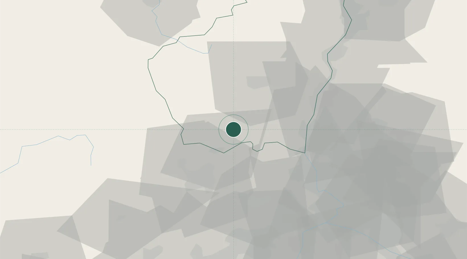
Location
Nearby Logistics Neighbours
Cities
- 1Rosières9 km
- 2Lablachère10 km
- 3Vinezac15 km
- 4Laval-Saint-Roman21 km
- 5Molières-sur-Cèze21 km
Ports
- 1Fos119 km
- 2Port Saint Louis Du Rhone120 km
- 3Sete121 km
- 4Port-de-Bouc124 km
- 5Marseille148 km
Airports
Trade Zones
- 1ZFU Avignon64 km
- 2ZFU Nîmes64 km
- 3ZFU Valence73 km
- 4ZFU Montpellier96 km
- 5ZFU Saint-Etienne114 km
DatabookThe Record of Consolidated Knowledge
France beyond logistics?