Transport Functions
Port
Road
Hub Profile
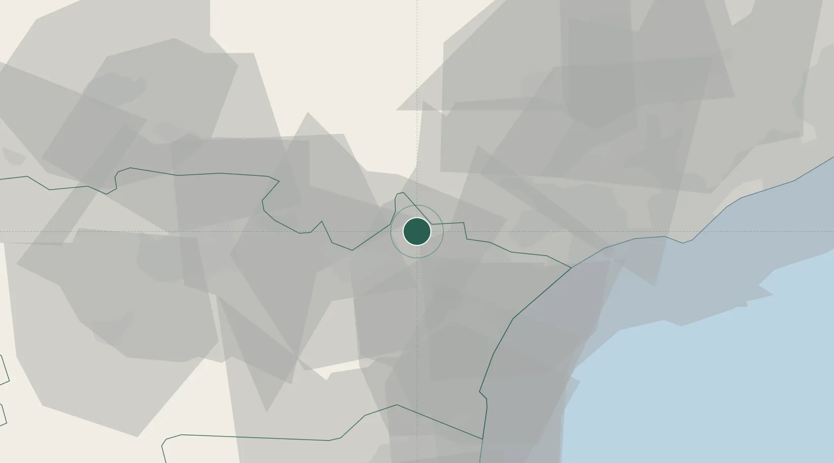
Place type
Populated place
Region
Occitanie
Population
1,321
Time zone
Europe/Paris
Elevation
40 m
Location
Nearby Logistics Neighbours
Cities
- 1Mirepeisset2 km
- 2Bize-Minervois2 km
- 3Agel6 km
- 4Pouzols-Minervois6 km
- 5Cruzy7 km
Ports
- 1Port-La-Nouvelle34 km
- 2Sete66 km
- 3Port-Vendres89 km
- 4Rosas117 km
- 5Port Saint Louis Du Rhone155 km
Airports
Trade Zones
- 1ZFU Béziers26 km
- 2ZFU Perpignan67 km
- 3ZFU Montpellier84 km
- 4ZFU Toulouse123 km
- 5ZFU Nîmes130 km
DatabookThe Record of Consolidated Knowledge
France beyond logistics?