Transport Functions
Multimodal
Hub Profile
Place type
Populated place
Region
Occitanie
Population
186
Time zone
Europe/Paris
Elevation
105 m
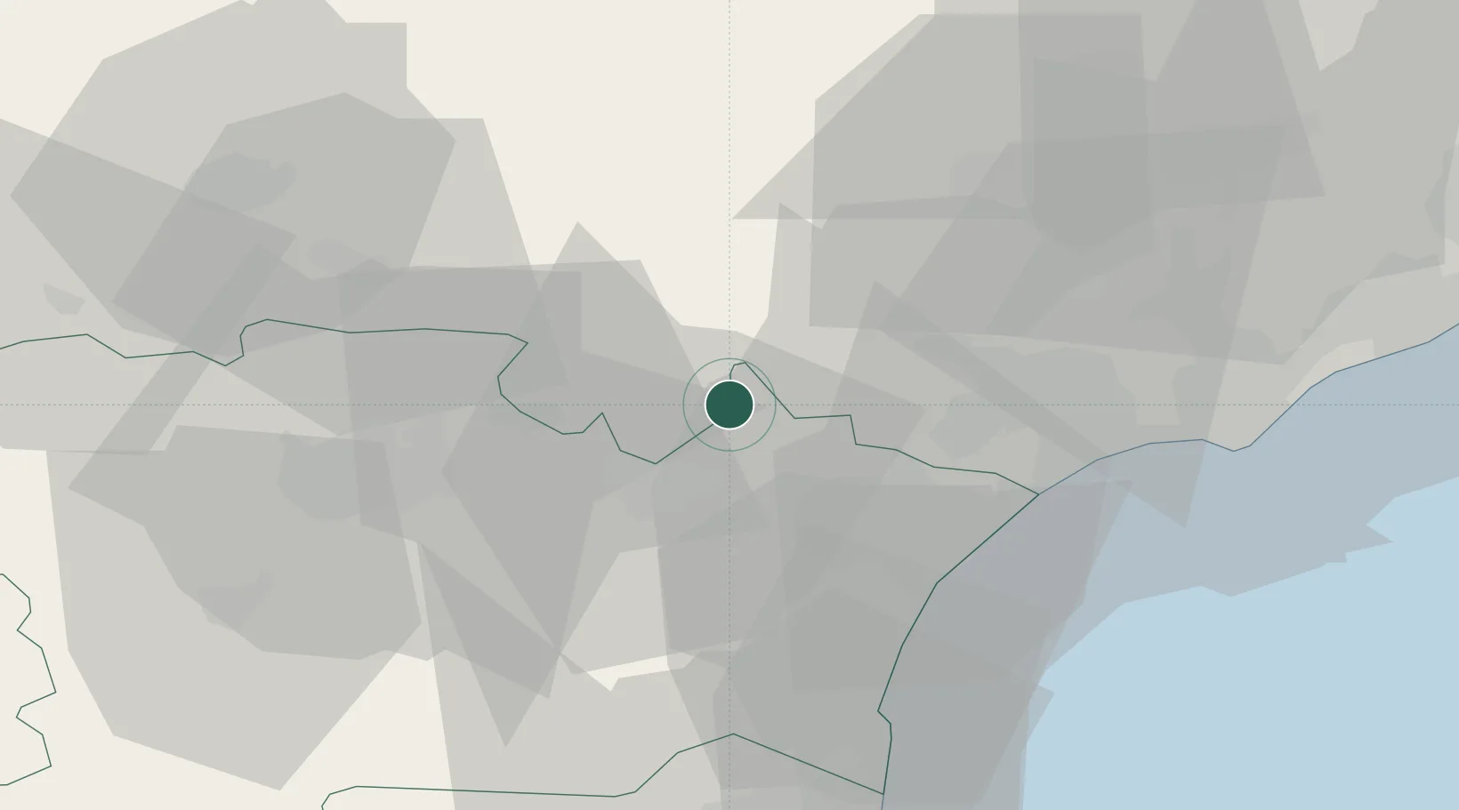
Location
Nearby Logistics Neighbours
Cities
- 1Aigne3 km
- 2Aigues-Vives3 km
- 3Bize-Minervois3 km
- 4Argeliers6 km
- 5Saint-Jean-de-Minervois6 km
Ports
- 1Port-La-Nouvelle39 km
- 2Sete69 km
- 3Port-Vendres93 km
- 4Rosas122 km
- 5Port Saint Louis Du Rhone159 km
Airports
Trade Zones
- 1ZFU Béziers30 km
- 2ZFU Perpignan71 km
- 3ZFU Montpellier86 km
- 4ZFU Toulouse118 km
- 5ZFU Nîmes132 km
DatabookThe Record of Consolidated Knowledge
France beyond logistics?