Transport Functions
Port
Multimodal
Hub Profile
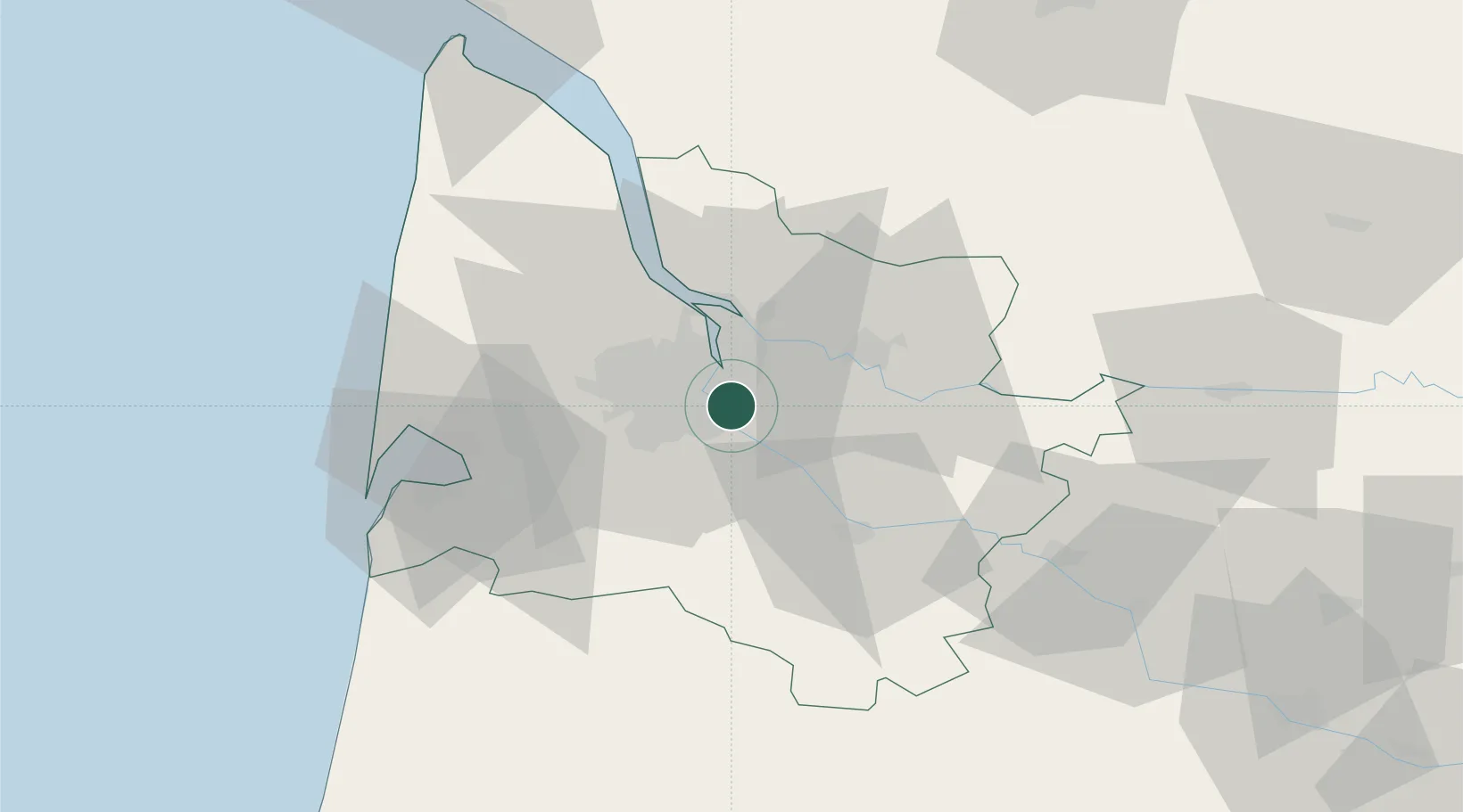
Place type
Populated place
Region
Nouvelle-Aquitaine
Population
3,558
Time zone
Europe/Paris
Elevation
73 m
Location
Nearby Logistics Neighbours
Cities
- 1Cenon4 km
- 2la Bastide/Bordeaux5 km
- 3Hourcade5 km
- 4Villenave-d'Ornon6 km
- 5Yvrac7 km
Airports
Trade Zones
- 1ZFU Hauts de Garonne5 km
- 2Port de Bordeaux11 km
- 3ZFU La Rochelle159 km
- 4Depósito Franco de Pasajes (Guipúzcoa)201 km
- 5ZFU Toulouse206 km
DatabookThe Record of Consolidated Knowledge
France beyond logistics?