UN/LOCODE hub · France
FRVDO

Villenave-d'Ornon

44.7667°, -0.5500°
30,347
Population
2
Transport functions

Transport Functions

Rail
Road
UN/LOCODE

Hub Profile

Place type
Populated place
GeoNames
Region
Nouvelle-Aquitaine
GeoNames
Population
30,347
GeoNames
Time zone
Europe/Paris
GeoNames
Elevation
15 m
GeoNames

Location

Location of FRVDO
Natural Earth 10m (public domain) · Nouvelle-Aquitaine · FRVDO · 44.77, -0.55GoogleOSMYandex

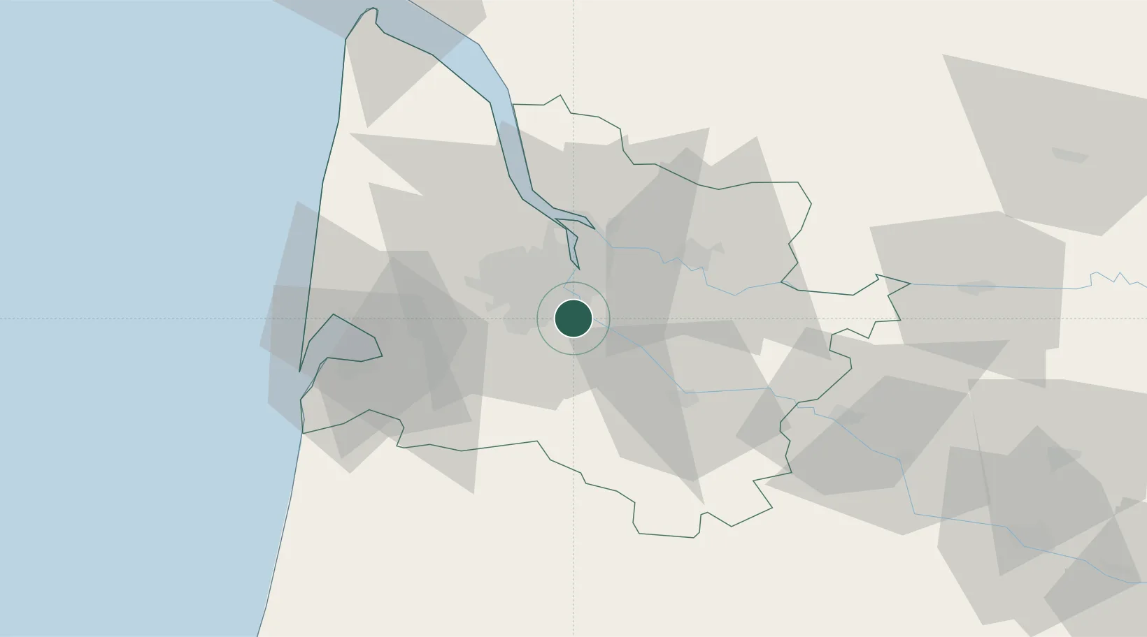
Nearby Logistics Neighbours

Cities
  1. 1Hourcade2 km
  2. 2Cadaujac2 km
  3. 3Quinsac4 km
  4. 4Bouliac6 km
  5. 5Canejean7 km
Nearest neighbours — logibook spatial index (haversine) over the source coordinates
Ports
  1. 1Bordeaux11 km
  2. 2Ambes28 km
  3. 3Blaye42 km
  4. 4Pauillac51 km
  5. 5Le Verdon96 km
Nearest neighbours — logibook spatial index (haversine) over the source coordinates
Airports
  1. 1Bordeaux–Mérignac Airport15 km
  2. 2Aérodrome d'Arcachon-La Teste-de-Buch48 km
  3. 3Cazaux (BA 120) Air Base52 km
  4. 4Bergerac Dordogne-Périgord airport85 km
  5. 5Mont-de-Marsan (BA 118) Air Base95 km
Nearest neighbours — logibook spatial index (haversine) over the source coordinates
Trade Zones
  1. 1ZFU Hauts de Garonne7 km
  2. 2Port de Bordeaux16 km
  3. 3ZFU La Rochelle164 km
  4. 4Depósito Franco de Pasajes (Guipúzcoa)195 km
  5. 5ZFU Toulouse205 km
Nearest neighbours — logibook spatial index (haversine) over the source coordinates
DatabookThe Record of Consolidated Knowledge
France beyond logistics?
Browse databook

All Sources

LocationsUN/LOCODE
UN/LOCODE — free
LocationsGeoNames
CC BY 4.0
Portsthe NGA World Port Index
Public domain (US gov)
AirportsOurAirports
Public domain
Trade Zonesthe World Bank SEZ database
CC BY 4.0
Trade ZonesOpen Zone Map
CC BY
← France locations