UN/LOCODE hub · France
FRHOU

Hourcade

44.7833°, -0.5500°
1
Transport functions

Transport Functions

Rail
UN/LOCODE

Hub Profile

Region
33
GeoNames

Location

Location of FRHOU
Natural Earth 10m (public domain) · 33 · FRHOU · 44.78, -0.55GoogleOSMYandex

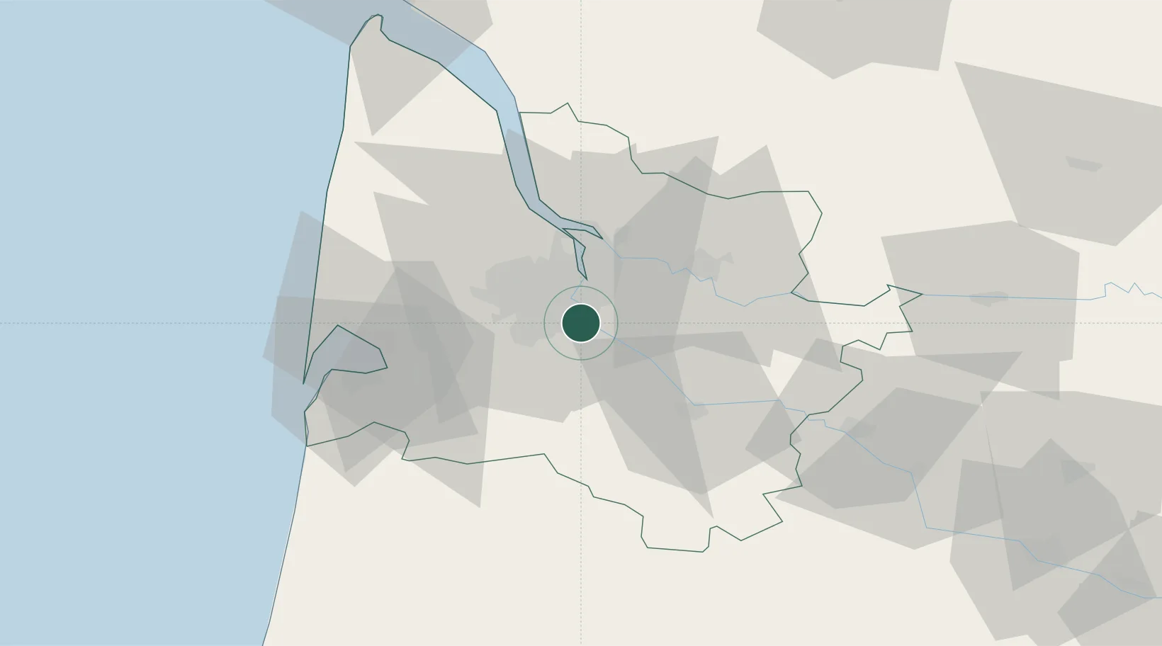
Nearby Logistics Neighbours

Cities
  1. 1Villenave-d'Ornon2 km
  2. 2Cadaujac4 km
  3. 3Bouliac5 km
  4. 4Quinsac5 km
  5. 5Canejean7 km
Nearest neighbours — logibook spatial index (haversine) over the source coordinates
Ports
  1. 1Bordeaux9 km
  2. 2Ambes26 km
  3. 3Blaye40 km
  4. 4Pauillac49 km
  5. 5Le Verdon94 km
Nearest neighbours — logibook spatial index (haversine) over the source coordinates
Airports
  1. 1Bordeaux–Mérignac Airport14 km
  2. 2Aérodrome d'Arcachon-La Teste-de-Buch49 km
  3. 3Cazaux (BA 120) Air Base53 km
  4. 4Bergerac Dordogne-Périgord airport84 km
  5. 5Mont-de-Marsan (BA 118) Air Base97 km
Nearest neighbours — logibook spatial index (haversine) over the source coordinates
Trade Zones
  1. 1ZFU Hauts de Garonne6 km
  2. 2Port de Bordeaux14 km
  3. 3ZFU La Rochelle162 km
  4. 4Depósito Franco de Pasajes (Guipúzcoa)196 km
  5. 5ZFU Toulouse206 km
Nearest neighbours — logibook spatial index (haversine) over the source coordinates
DatabookThe Record of Consolidated Knowledge
France beyond logistics?
Browse databook

All Sources

LocationsUN/LOCODE
UN/LOCODE — free
Portsthe NGA World Port Index
Public domain (US gov)
AirportsOurAirports
Public domain
Trade Zonesthe World Bank SEZ database
CC BY 4.0
Trade ZonesOpen Zone Map
CC BY
← France locations