Transport Functions
Rail
Hub Profile
Region
33
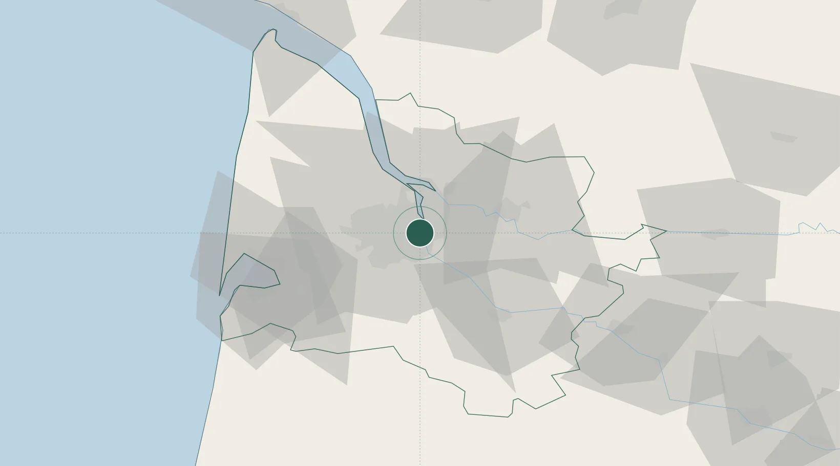
Location
Nearby Logistics Neighbours
Cities
- 1Cenon1 km
- 2Bordeaux3 km
- 3Bouliac5 km
- 4Le Bouscat6 km
- 5Ambarès-et-Lagrave6 km
Airports
Trade Zones
- 1ZFU Hauts de Garonne3 km
- 2Port de Bordeaux7 km
- 3ZFU La Rochelle155 km
- 4Depósito Franco de Pasajes (Guipúzcoa)202 km
- 5ZFU Toulouse211 km
DatabookThe Record of Consolidated Knowledge
France beyond logistics?