UN/LOCODE hub · France
FRDFT

Dracy-le-Fort

46.8000°, 4.7667°
1,256
Population
1
Transport functions

Transport Functions

Multimodal
UN/LOCODE

Hub Profile

Place type
Populated place
GeoNames
Region
Bourgogne
GeoNames
Population
1,256
GeoNames
Time zone
Europe/Paris
GeoNames
Elevation
206 m
GeoNames

Location

Location of FRDFT
Natural Earth 10m (public domain) · Bourgogne · FRDFT · 46.80, 4.77GoogleOSMYandex

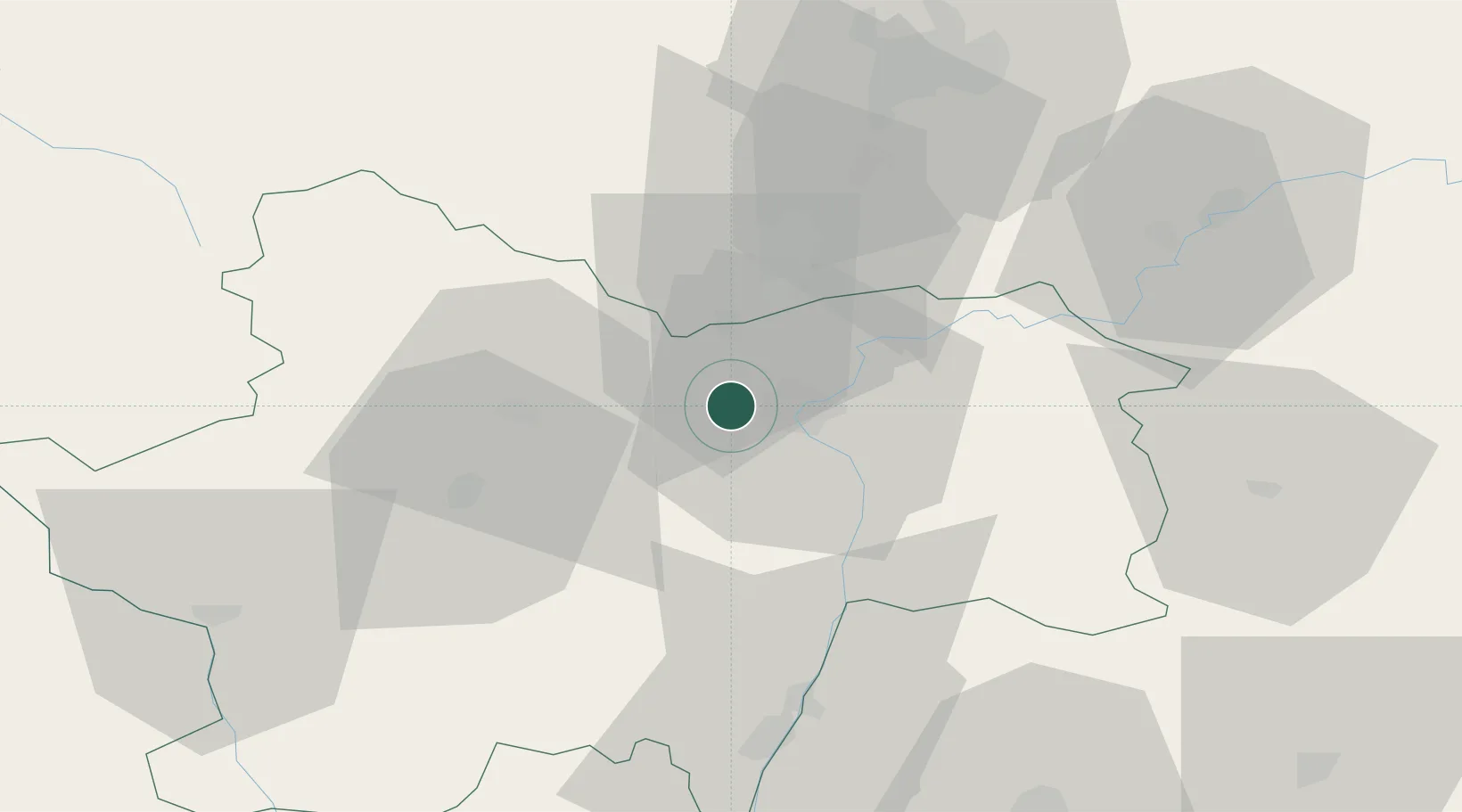
Nearby Logistics Neighbours

Cities
  1. 1Germolles1 km
  2. 2Givry2 km
  3. 3Mellecey3 km
  4. 4Fargues-de-Langon5 km
  5. 5Farges-lès-Chalon5 km
Nearest neighbours — logibook spatial index (haversine) over the source coordinates
Ports
  1. 1Fos376 km
  2. 2Port-de-Bouc378 km
  3. 3Port Saint Louis Du Rhone380 km
  4. 4Sete387 km
  5. 5Marseille390 km
Nearest neighbours — logibook spatial index (haversine) over the source coordinates
Airports
  1. 1Mâcon-Charnay Airfield56 km
  2. 2Dole Tavaux Airport57 km
  3. 3Dijon Longvic airport58 km
  4. 4Saint-Yan Airport72 km
  5. 5Ambérieu Air Base (BA 278)100 km
Nearest neighbours — logibook spatial index (haversine) over the source coordinates
Trade Zones
  1. 1ZFU Chenôve57 km
  2. 2ZFU Besancon106 km
  3. 3ZFU Rillieux-la-Pape108 km
  4. 4ZFU Vaulx-en-Velin114 km
  5. 5ZFU Lyon 9e114 km
Nearest neighbours — logibook spatial index (haversine) over the source coordinates
DatabookThe Record of Consolidated Knowledge
France beyond logistics?
Browse databook

All Sources

LocationsUN/LOCODE
UN/LOCODE — free
LocationsGeoNames
CC BY 4.0
Portsthe NGA World Port Index
Public domain (US gov)
AirportsOurAirports
Public domain
Trade Zonesthe World Bank SEZ database
CC BY 4.0
Trade ZonesOpen Zone Map
CC BY
← France locations