Transport Functions
Road
Multimodal
Hub Profile
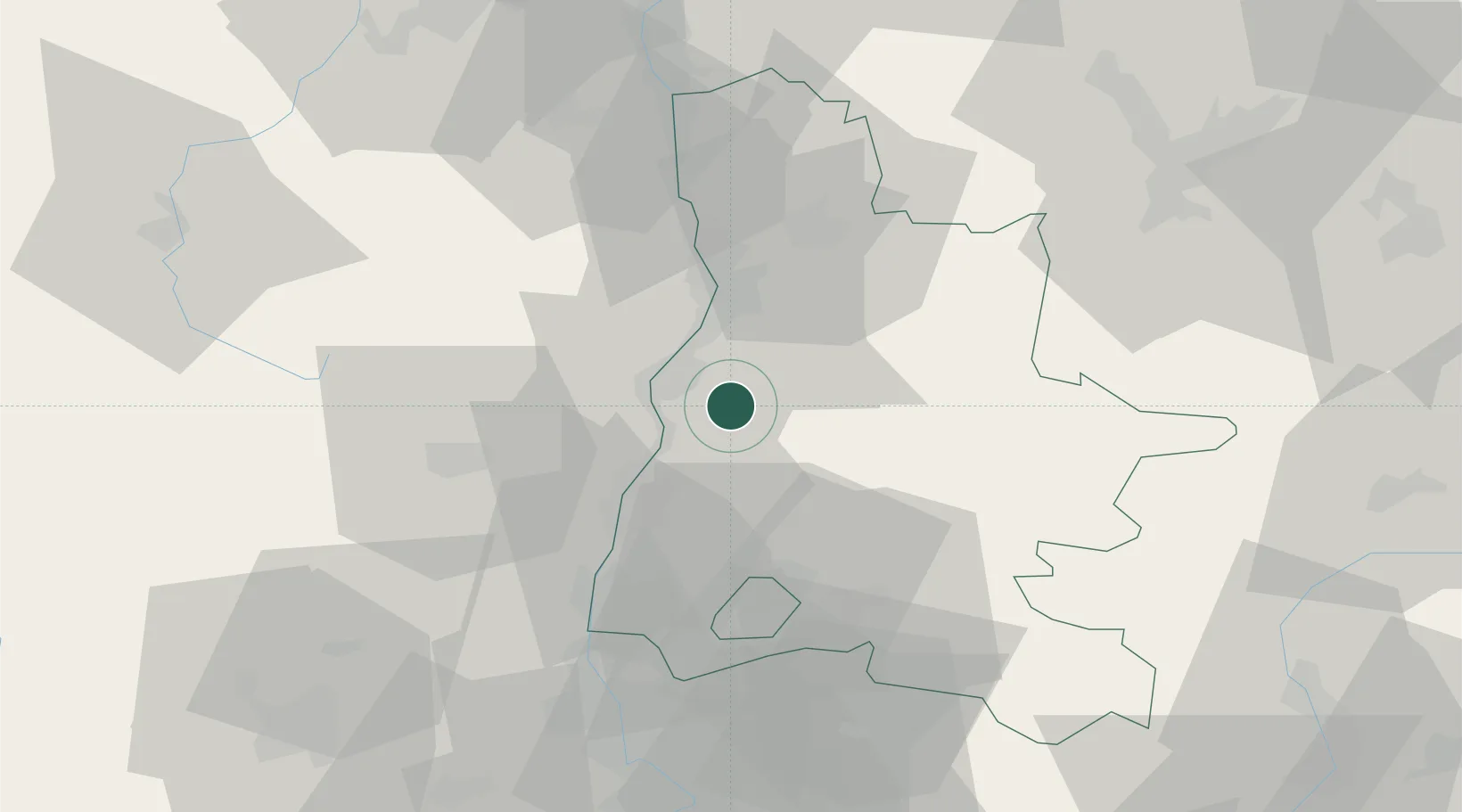
Place type
Populated place
Region
Rhône-Alpes
Population
1,693
Time zone
Europe/Paris
Elevation
191 m
Location
Nearby Logistics Neighbours
Cities
- 1Autichamp6 km
- 2Montéléger13 km
- 3Le Pouzin13 km
- 4Portes-lès-Valence15 km
- 5Beaumont-lès-Valence15 km
Ports
- 1Fos146 km
- 2Port-de-Bouc148 km
- 3Port Saint Louis Du Rhone150 km
- 4Marseille162 km
- 5Sete177 km
Airports
Trade Zones
- 1ZFU Valence22 km
- 2ZFU Grenoble78 km
- 3ZFU Avignon88 km
- 4ZFU Saint-Etienne91 km
- 5ZFU Vénissieux107 km
DatabookThe Record of Consolidated Knowledge
France beyond logistics?