Transport Functions
Multimodal
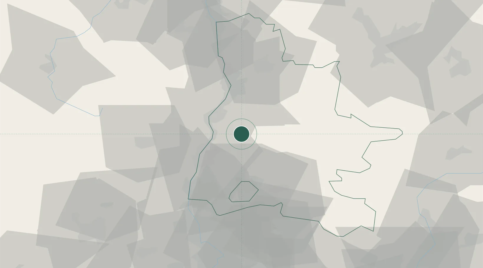
Hub Profile
Place type
Populated place
Region
Rhône-Alpes
Population
129
Time zone
Europe/Paris
Elevation
357 m
Location
Nearby Logistics Neighbours
Cities
- 1Grane6 km
- 2Le Pouzin18 km
- 3Bourdeaux18 km
- 4Saillans19 km
- 5Montéléger19 km
Ports
- 1Fos141 km
- 2Port-de-Bouc143 km
- 3Port Saint Louis Du Rhone145 km
- 4Marseille156 km
- 5Sete174 km
Airports
Trade Zones
- 1ZFU Valence28 km
- 2ZFU Grenoble80 km
- 3ZFU Avignon82 km
- 4ZFU Saint-Etienne97 km
- 5ZFU Nîmes107 km
DatabookThe Record of Consolidated Knowledge
France beyond logistics?