Transport Functions
Multimodal
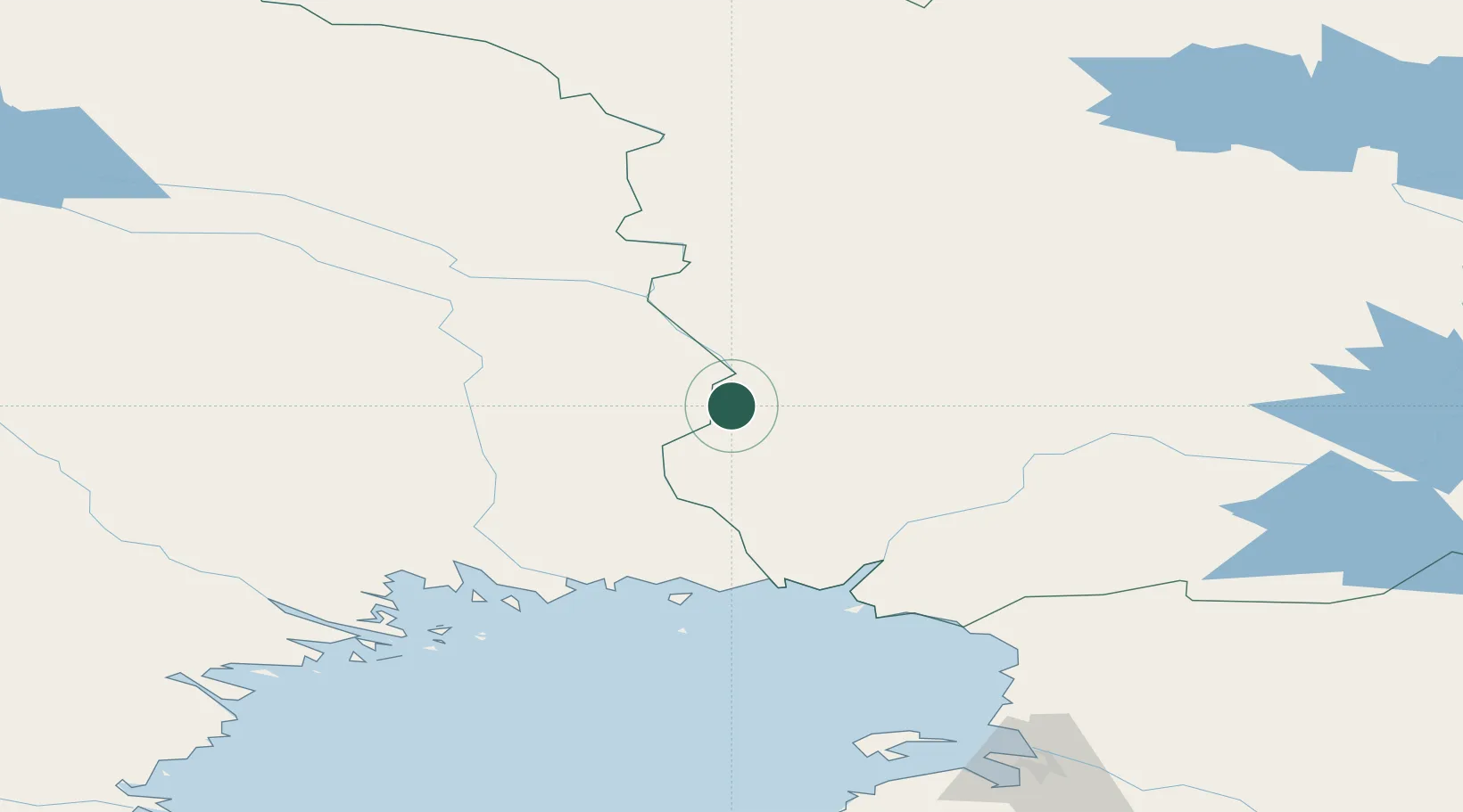
Hub Profile
Place type
Populated place
Region
Lapland
Time zone
Europe/Helsinki
Elevation
65 m
Location
Nearby Logistics Neighbours
Cities
- 1Övertorneå33 km
- 2Rovaniemi78 km
- 3Karlsborg Axelvik100 km
- 4Torneå (Tornio)100 km
- 5Röyttä100 km
Airports
- 1Pajala Airport77 km
- 2Rovaniemi Airport82 km
- 3Kemi-Tornio Airport101 km
- 4Kittilä International Airport123 km
- 5Sodankyla Airport141 km
Trade Zones
- 1Oulu Port Free Warehouse Area195 km
- 2Murmansk Special Economic Zone460 km
- 3Free Zone of Lappeenranta655 km
- 4Turku Free Zone696 km
- 5Port of Hamina-Kotka703 km
DatabookThe Record of Consolidated Knowledge
Finland beyond logistics?