Transport Functions
Multimodal
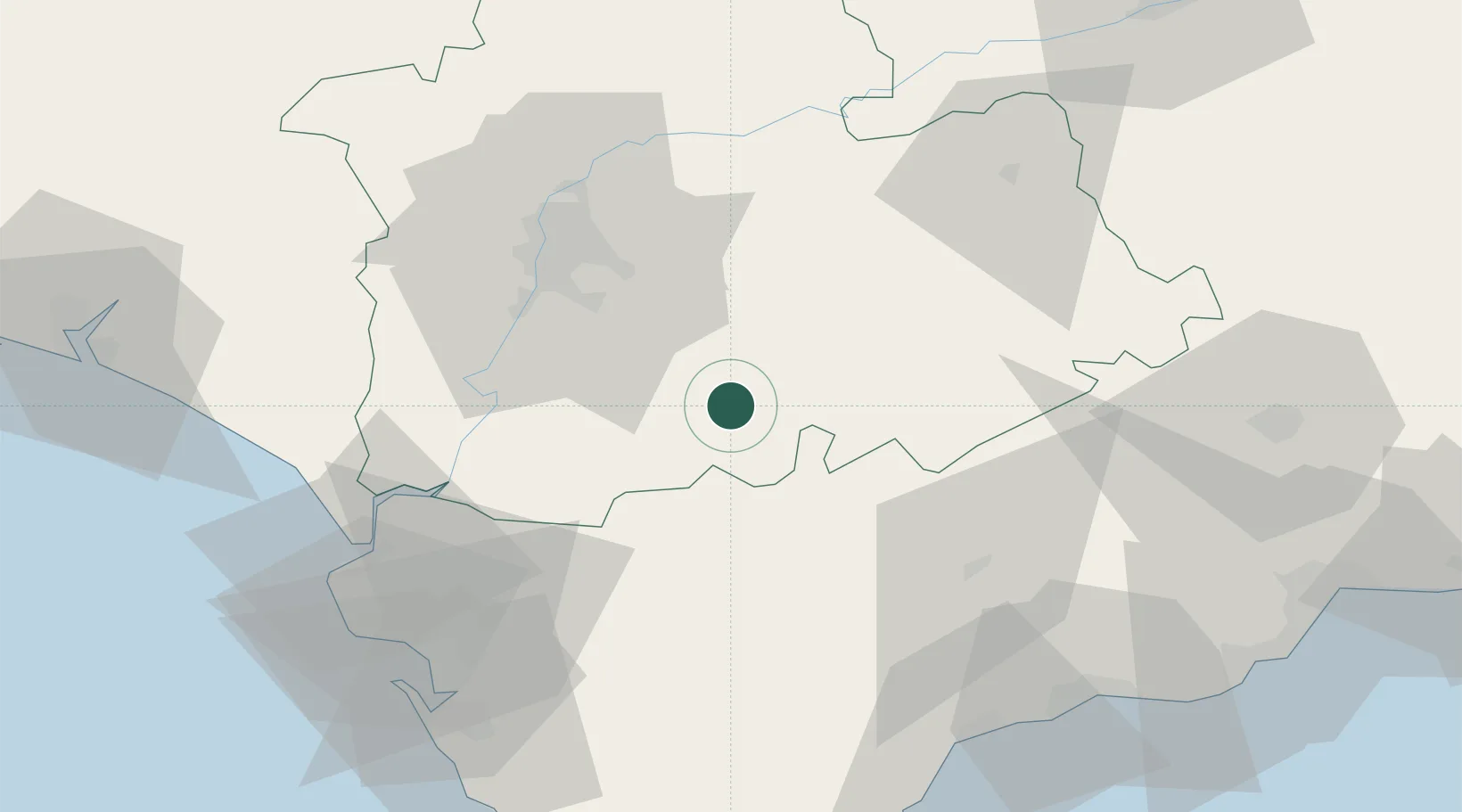
Hub Profile
Place type
Populated place
Region
Andalusia
Population
5,011
Time zone
Europe/Madrid
Elevation
134 m
Location
Nearby Logistics Neighbours
Cities
- 1Arahal22 km
- 2La Puebla de Cazalla32 km
- 3Prado del Rey34 km
- 4Montequinto39 km
- 5Pruna39 km
Airports
- 1Moron Air Base10 km
- 2Tomás Fernández Espada Airfield24 km
- 3Seville Airport44 km
- 4Jerez Airport54 km
- 5Madroñalejos Forest Fire fighting Heliport77 km
Trade Zones
- 1Zona Franca de Sevilla43 km
- 2Zona Franca de Cádiz86 km
- 3Depósito Franco de Málaga99 km
- 4Depósito Franco de Algeciras108 km
- 5Puerto de Huelva119 km
DatabookThe Record of Consolidated Knowledge
Spain beyond logistics?