Transport Functions
Multimodal
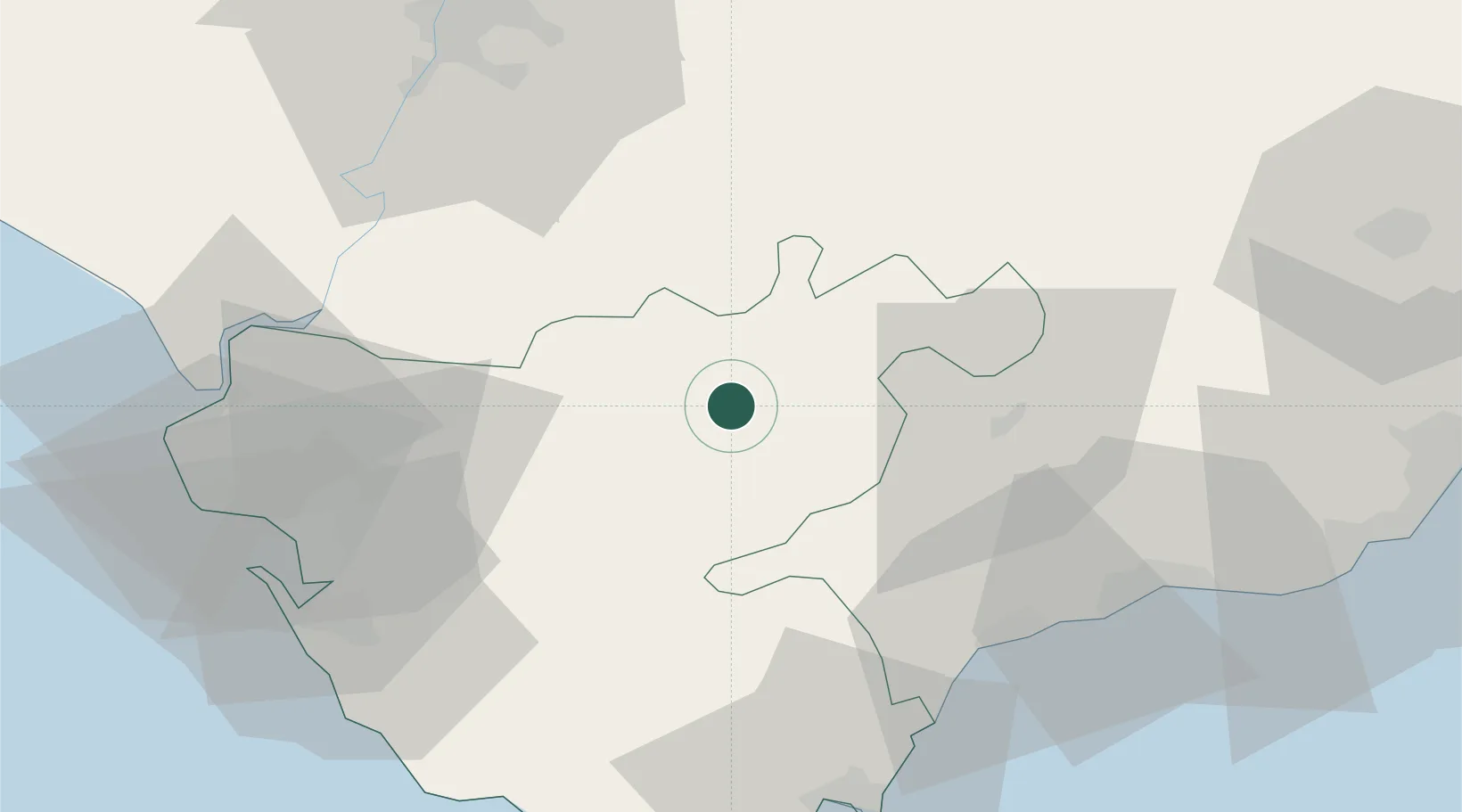
Hub Profile
Place type
District seat
Region
Andalusia
Population
5,851
Time zone
Europe/Madrid
Elevation
441 m
Location
Nearby Logistics Neighbours
Cities
- 1San Jose del Valle23 km
- 2El Coronil34 km
- 3Pruna37 km
- 4Arriate39 km
- 5Alcantara40 km
Ports
- 1Rota71 km
- 2Cadiz71 km
- 3Algeciras73 km
- 4Sevilla75 km
- 5Tangier-Mediterranean98 km
Airports
- 1Tomás Fernández Espada Airfield12 km
- 2Moron Air Base44 km
- 3Jerez Airport44 km
- 4Rota Naval Station Airport71 km
- 5Gibraltar Airport73 km
Trade Zones
- 1Zona Franca de Cádiz70 km
- 2Zona Franca de Sevilla72 km
- 3Depósito Franco de Algeciras74 km
- 4Depósito Franco de Málaga97 km
- 5Autonomous City of Ceuta102 km
DatabookThe Record of Consolidated Knowledge
Spain beyond logistics?