UN/LOCODE hub · Spain
ESZID

Montequinto

37.3333°, -5.9333°
1
Transport functions

Transport Functions

Multimodal
UN/LOCODE

Hub Profile

Region
LO
GeoNames

Location

Location of ESZID
Natural Earth 10m (public domain) · LO · ESZID · 37.33, -5.93GoogleOSMYandex

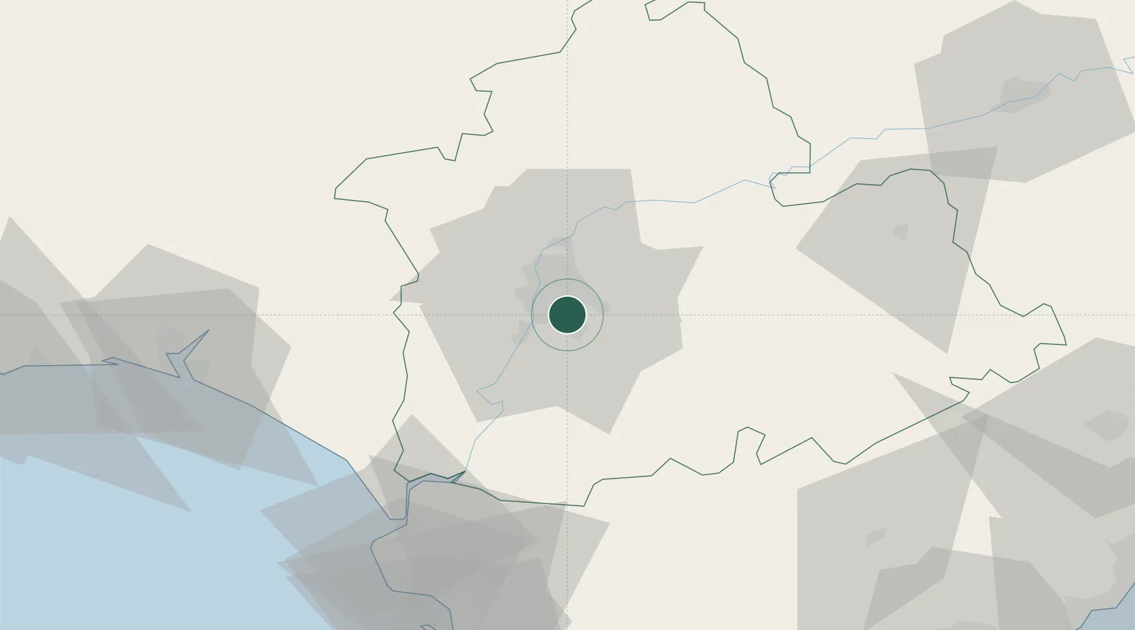
Nearby Logistics Neighbours

Cities
  1. 1Sevilla6 km
  2. 2Gelves7 km
  3. 3La Puebla Del Rio14 km
  4. 4Valencina de la Concepcion15 km
  5. 5Alcala del Rio21 km
Nearest neighbours — logibook spatial index (haversine) over the source coordinates
Ports
  1. 1Sevilla7 km
  2. 2Rota87 km
  3. 3Huelva90 km
  4. 4Cadiz95 km
  5. 5Vila Real De S Antonio131 km
Nearest neighbours — logibook spatial index (haversine) over the source coordinates
Airports
  1. 1Seville Airport10 km
  2. 2Moron Air Base33 km
  3. 3Madroñalejos Forest Fire fighting Heliport39 km
  4. 4Tomás Fernández Espada Airfield57 km
  5. 5Jerez Airport66 km
Nearest neighbours — logibook spatial index (haversine) over the source coordinates
Trade Zones
  1. 1Zona Franca de Sevilla6 km
  2. 2Puerto de Huelva91 km
  3. 3Zona Franca de Cádiz97 km
  4. 4Depósito Franco de Málaga129 km
  5. 5Depósito Franco de Algeciras142 km
Nearest neighbours — logibook spatial index (haversine) over the source coordinates
DatabookThe Record of Consolidated Knowledge
Spain beyond logistics?
Browse databook

All Sources

LocationsUN/LOCODE
UN/LOCODE — free
Portsthe NGA World Port Index
Public domain (US gov)
AirportsOurAirports
Public domain
Trade Zonesthe World Bank SEZ database
CC BY 4.0
Trade ZonesOpen Zone Map
CC BY
← Spain locations