Transport Functions
Road
Multimodal
Hub Profile
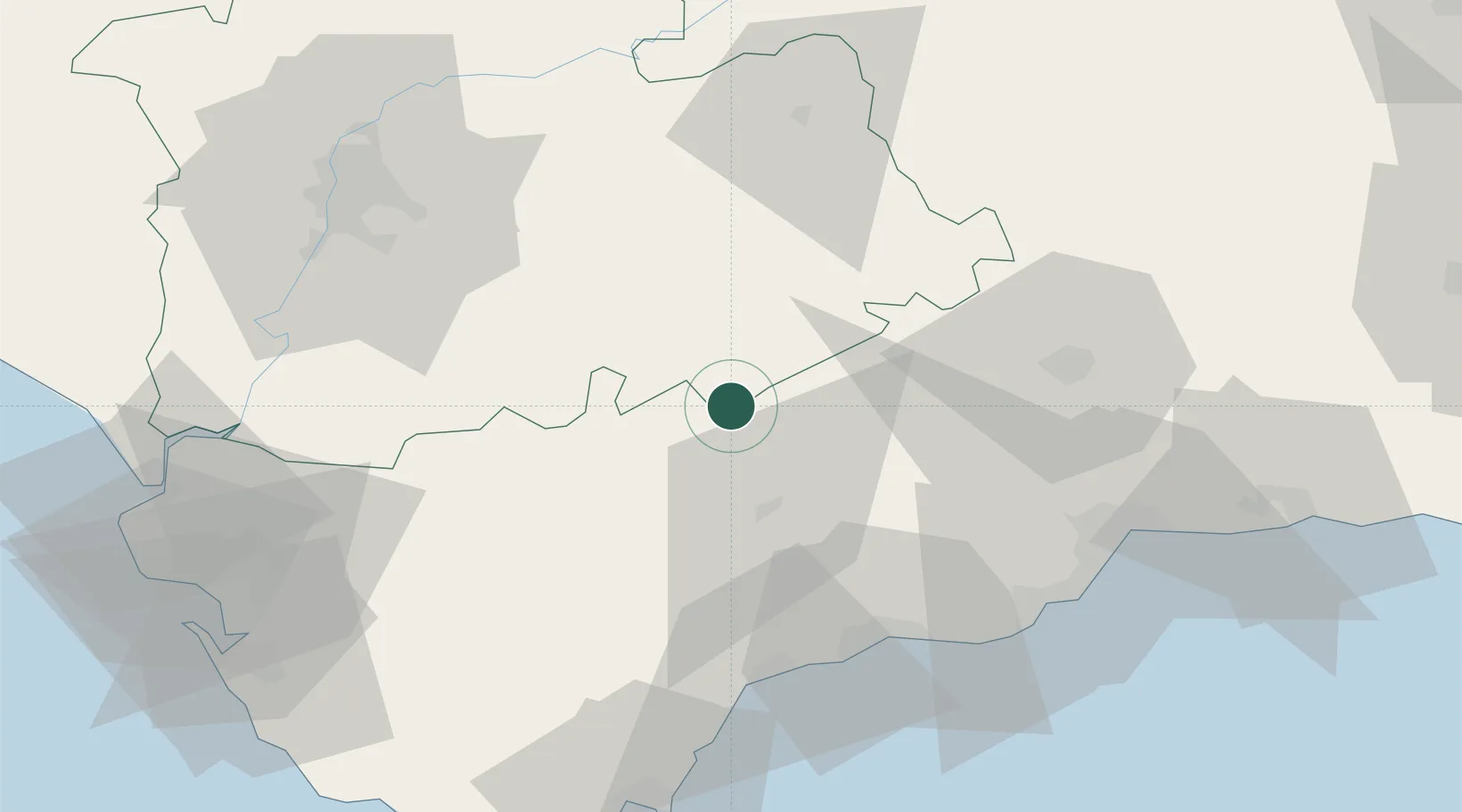
Place type
District seat
Region
Andalusia
Population
3,047
Time zone
Europe/Madrid
Elevation
543 m
Location
Nearby Logistics Neighbours
Cities
- 1Arriate20 km
- 2La Puebla de Cazalla29 km
- 3Prado del Rey37 km
- 4El Coronil39 km
- 5Tolox41 km
Airports
- 1Tomás Fernández Espada Airfield40 km
- 2Moron Air Base42 km
- 3Málaga-Costa del Sol Airport72 km
- 4Seville Airport78 km
- 5Jerez Airport79 km
Trade Zones
- 1Depósito Franco de Málaga62 km
- 2Zona Franca de Sevilla81 km
- 3Depósito Franco de Algeciras96 km
- 4Zona Franca de Cádiz107 km
- 5Autonomous City of Ceuta120 km
DatabookThe Record of Consolidated Knowledge
Spain beyond logistics?