UN/LOCODE hub · Spain
ESLPZ

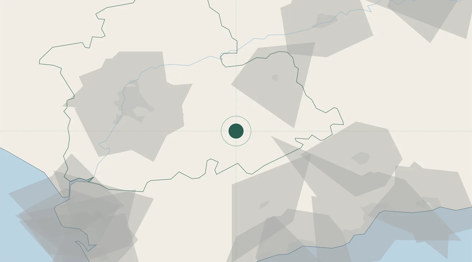
La Puebla de Cazalla

37.2167°, -5.3167°
11,033
Population
2
Transport functions

Transport Functions

Road
Multimodal
UN/LOCODE

Hub Profile

Place type
Populated place
GeoNames
Region
Andalusia
GeoNames
Population
11,033
GeoNames
Time zone
Europe/Madrid
GeoNames
Elevation
177 m
GeoNames

Location

Location of ESLPZ
Natural Earth 10m (public domain) · Andalusia · ESLPZ · 37.22, -5.32GoogleOSMYandex

Nearby Logistics Neighbours

Cities
  1. 1Arahal21 km
  2. 2Pruna29 km
  3. 3El Coronil32 km
  4. 4Canada Rosal44 km
  5. 5Arriate49 km
Nearest neighbours — logibook spatial index (haversine) over the source coordinates
Ports
  1. 1Sevilla63 km
  2. 2Malaga97 km
  3. 3Rota112 km
  4. 4Cadiz116 km
  5. 5Algeciras121 km
Nearest neighbours — logibook spatial index (haversine) over the source coordinates
Airports
  1. 1Moron Air Base27 km
  2. 2Tomás Fernández Espada Airfield48 km
  3. 3Seville Airport56 km
  4. 4Córdoba Airport81 km
  5. 5Jerez Airport84 km
Nearest neighbours — logibook spatial index (haversine) over the source coordinates
Trade Zones
  1. 1Zona Franca de Sevilla62 km
  2. 2Depósito Franco de Málaga73 km
  3. 3Zona Franca de Cádiz116 km
  4. 4Depósito Franco de Algeciras122 km
  5. 5Puerto de Huelva146 km
Nearest neighbours — logibook spatial index (haversine) over the source coordinates
DatabookThe Record of Consolidated Knowledge
Spain beyond logistics?
Browse databook

All Sources

LocationsUN/LOCODE
UN/LOCODE — free
LocationsGeoNames
CC BY 4.0
Portsthe NGA World Port Index
Public domain (US gov)
AirportsOurAirports
Public domain
Trade Zonesthe World Bank SEZ database
CC BY 4.0
Trade ZonesOpen Zone Map
CC BY
← Spain locations