Transport Functions
Rail
Road
Hub Profile
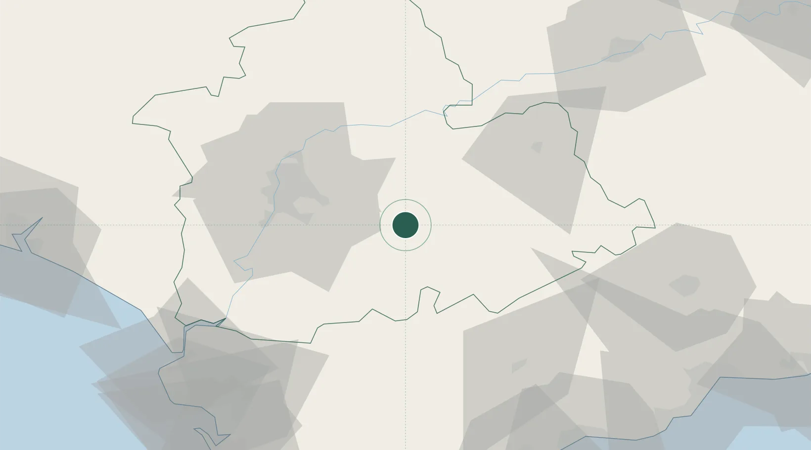
Region
SE
Location
Nearby Logistics Neighbours
Cities
- 1La Puebla de Cazalla21 km
- 2El Coronil22 km
- 3Montequinto35 km
- 4Los Rosales38 km
- 5Sevilla40 km
Airports
- 1Moron Air Base12 km
- 2Seville Airport35 km
- 3Tomás Fernández Espada Airfield45 km
- 4Madroñalejos Forest Fire fighting Heliport72 km
- 5Jerez Airport74 km
Trade Zones
- 1Zona Franca de Sevilla41 km
- 2Depósito Franco de Málaga94 km
- 3Zona Franca de Cádiz106 km
- 4Puerto de Huelva125 km
- 5Depósito Franco de Algeciras127 km
DatabookThe Record of Consolidated Knowledge
Spain beyond logistics?