Transport Functions
Port
Rail
Road
Multimodal
Hub Profile
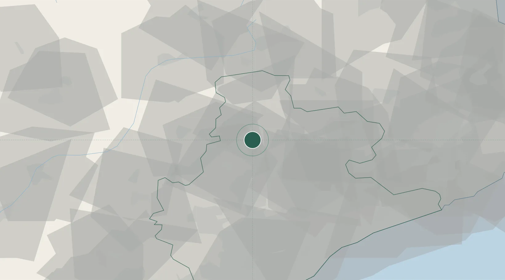
Place type
District seat
Region
Catalonia
Time zone
Europe/Madrid
Elevation
423 m
Location
Nearby Logistics Neighbours
Cities
- 1Gironella6 km
- 2Avia9 km
- 3Prats de Llucanes13 km
- 4Alcampell13 km
- 5Avinyó15 km
Ports
- 1Barcelona75 km
- 2Villanueva Y Geltru84 km
- 3San Feliu De Guixols99 km
- 4Palamos105 km
- 5Tarragona112 km
Airports
Trade Zones
- 1Zona Franca de Barcelona75 km
- 2Depósito Franco de Tarragona109 km
- 3ZFU Perpignan116 km
- 4ZFU Toulouse184 km
- 5ZFU Béziers187 km
DatabookThe Record of Consolidated Knowledge
Spain beyond logistics?