Transport Functions
Rail
Road
Hub Profile
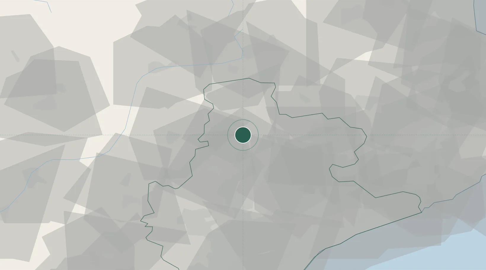
Place type
Populated place
Region
Catalonia
Population
4,834
Time zone
Europe/Madrid
Elevation
455 m
Location
Nearby Logistics Neighbours
Cities
- 1Avia5 km
- 2Puig-reig6 km
- 3Prats de Llucanes12 km
- 4Alcampell12 km
- 5Avinyó20 km
Ports
- 1Barcelona80 km
- 2Villanueva Y Geltru90 km
- 3San Feliu De Guixols99 km
- 4Palamos104 km
- 5Rosas110 km
Airports
Trade Zones
- 1Zona Franca de Barcelona80 km
- 2ZFU Perpignan111 km
- 3Depósito Franco de Tarragona115 km
- 4ZFU Toulouse178 km
- 5ZFU Béziers181 km
DatabookThe Record of Consolidated Knowledge
Spain beyond logistics?