UN/LOCODE hub · Spain
ESZHQ

San Jose del Valle

36.6000°, -5.6833°
1
Transport functions

Transport Functions

Multimodal
UN/LOCODE

Hub Profile

Place type
District seat
GeoNames
Region
Andalusia
GeoNames
Time zone
Europe/Madrid
GeoNames
Elevation
141 m
GeoNames

Location

Location of ESZHQ
Natural Earth 10m (public domain) · Andalusia · ESZHQ · 36.60, -5.68GoogleOSMYandex

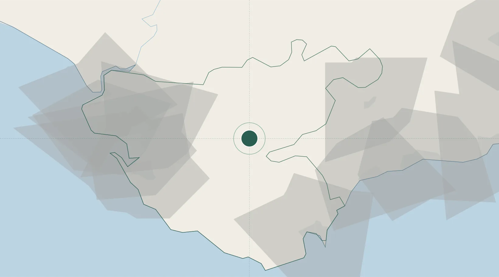
Nearby Logistics Neighbours

Cities
  1. 1Prado del Rey23 km
  2. 2Alcantara30 km
  3. 3Benalup31 km
  4. 4Guadalcacin37 km
  5. 5Tahivilla47 km
Nearest neighbours — logibook spatial index (haversine) over the source coordinates
Ports
  1. 1Cadiz56 km
  2. 2Algeciras57 km
  3. 3Rota58 km
  4. 4Tangier-Mediterranean79 km
  5. 5Ceuta85 km
Nearest neighbours — logibook spatial index (haversine) over the source coordinates
Airports
  1. 1Tomás Fernández Espada Airfield30 km
  2. 2Jerez Airport37 km
  3. 3Algeciras Heliport57 km
  4. 4Gibraltar Airport58 km
  5. 5Rota Naval Station Airport60 km
Nearest neighbours — logibook spatial index (haversine) over the source coordinates
Trade Zones
  1. 1Zona Franca de Cádiz53 km
  2. 2Depósito Franco de Algeciras57 km
  3. 3Tanger Med Ksar el Majaz Mellousa Freeport85 km
  4. 4Autonomous City of Ceuta85 km
  5. 5Zona Franca de Sevilla86 km
Nearest neighbours — logibook spatial index (haversine) over the source coordinates
DatabookThe Record of Consolidated Knowledge
Spain beyond logistics?
Browse databook

All Sources

LocationsUN/LOCODE
UN/LOCODE — free
Portsthe NGA World Port Index
Public domain (US gov)
AirportsOurAirports
Public domain
Trade Zonesthe World Bank SEZ database
CC BY 4.0
Trade ZonesOpen Zone Map
CC BY
← Spain locations