Transport Functions
Multimodal
Hub Profile
Place type
Populated place
Region
Andalusia
Time zone
Europe/Madrid
Elevation
26 m
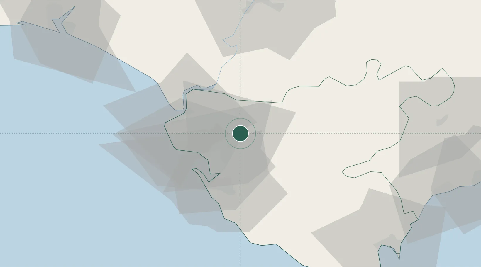
Location
Nearby Logistics Neighbours
Cities
- 1Alcantara8 km
- 2Trebujena20 km
- 3Cadiz27 km
- 4San Fernando28 km
- 5San Jose del Valle37 km
Airports
- 1Jerez Airport5 km
- 2Rota Naval Station Airport25 km
- 3Tomás Fernández Espada Airfield43 km
- 4Moron Air Base67 km
- 5Seville Airport82 km
Trade Zones
- 1Zona Franca de Cádiz27 km
- 2Zona Franca de Sevilla71 km
- 3Depósito Franco de Algeciras86 km
- 4Puerto de Huelva100 km
- 5Tanger Med Ksar el Majaz Mellousa Freeport106 km
DatabookThe Record of Consolidated Knowledge
Spain beyond logistics?